Carlops
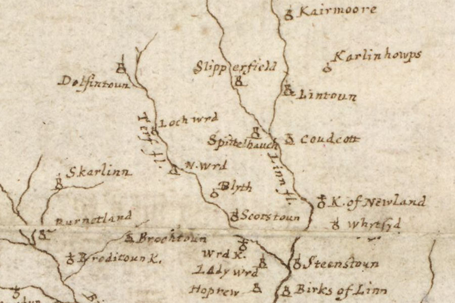
A map of the Clyde and Tweed basins
Robert Gordon, c. 1636 – 1652map image courtesy of NLS
Robert Gordon, c. 1636 – 1652map image courtesy of NLS
Carlops is marked as a tower on Gordon’s mid-17th century map.
The village of Carlops was founded in 1784 by Robert Brown of Newhall. Several pre-1784 maps show Carlops to the east of the main road which passes through the village and so I have placed the location of the tower at the former Carlops Quarry pending further research.


Alternative names for Carlops
Carlinghoups; Carlips; Karling houps; Karlinhowps
Where is Carlops?
Carlops is in the parish of Linton and the county of Peeblesshire.
Grid reference: NT 16590 55705
Lat / long: 55.787436, -3.331666