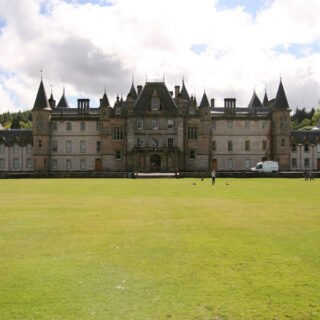
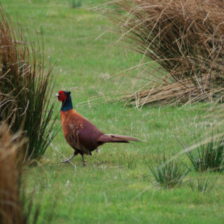
It was a bit overcast as I headed west towards Aberfeldy today, but overcast in a way that wasn’t threatening rain. I parked at the Forestry Commission car park at Peeler Gate on Drummond Hill, assembled my bike, and set off to the north-east, crossing the River Lyon at Comrie Castle.
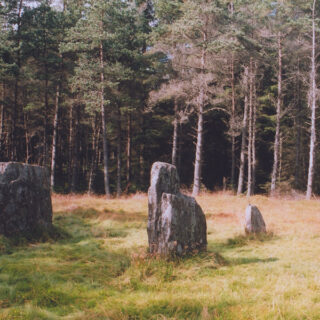
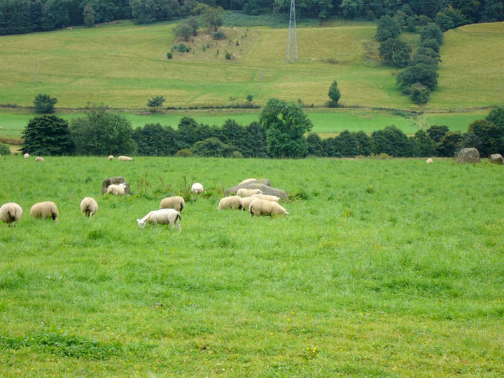
Turning off the main road at the village of Keltneyburn I crossed the Keltney Burn and headed west towards Fortingall. As I approached the village there were sheep in the field where the three stone circles are, so I stopped to take a photo then continued through the village.
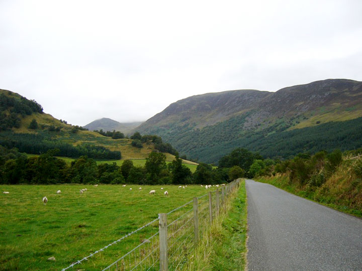
On the other side of the village I turned north, following the River Lyon into Glen Lyon. The hills guarding the entrance to the glen were brooding under low cloud.
As the road enters the Pass of Lyon it clings to the rockface, twisting it’s way high above the river.
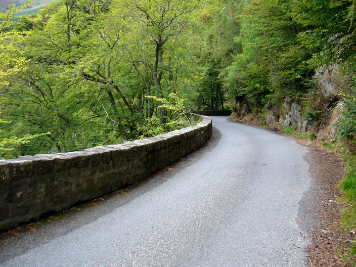
Down below is Macgregor’s Leap, where in 1565 a Macgregor escaped across the river from pursuing Campbells.
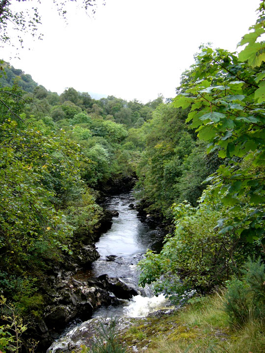
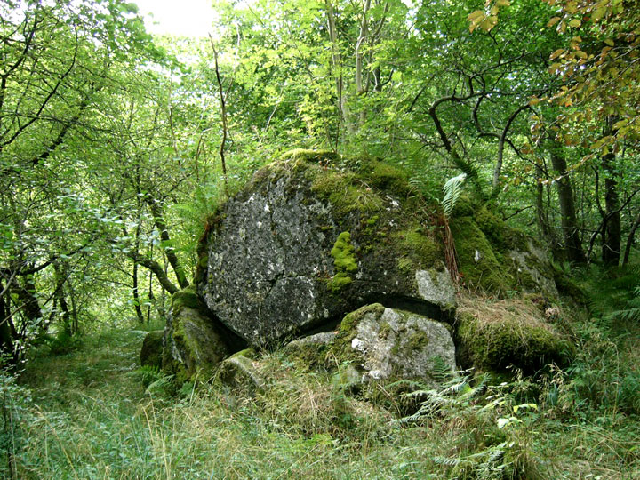
The thick forest here is the Coille Dhubh (the Black Wood), home to mysterious goings on in the past. A large stone known as the Clach Tagnairn nan Cat (the Stone of the Devil Cat) was circled every Hallowe’en by wildcats to welcome a large black cat which sat on top of it. In 1838 a traveller is said to have disturbed the cats and was attacked. He managed to escape to nearby Woodend House where a dead wildcat was found clinging to his back.
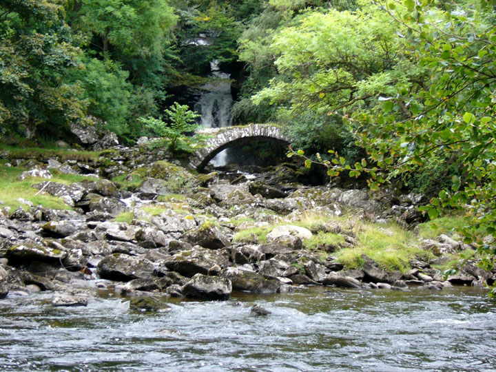
I continued on and out of the Black Wood, stopping soon after to take a photo of the Roman Bridge. Not Roman at all, but a very picturesque spot.
The road now moves in and out of forestry, giving and taking away views of the surrounding hills. I had planned to go and look for a possible large standing stone above Dericambus but I had a lot I still wanted to see further down the glen, so I pressed on.
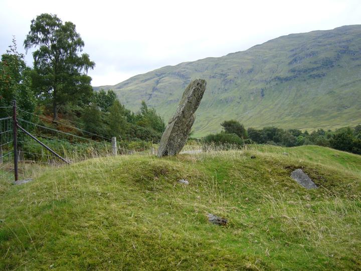
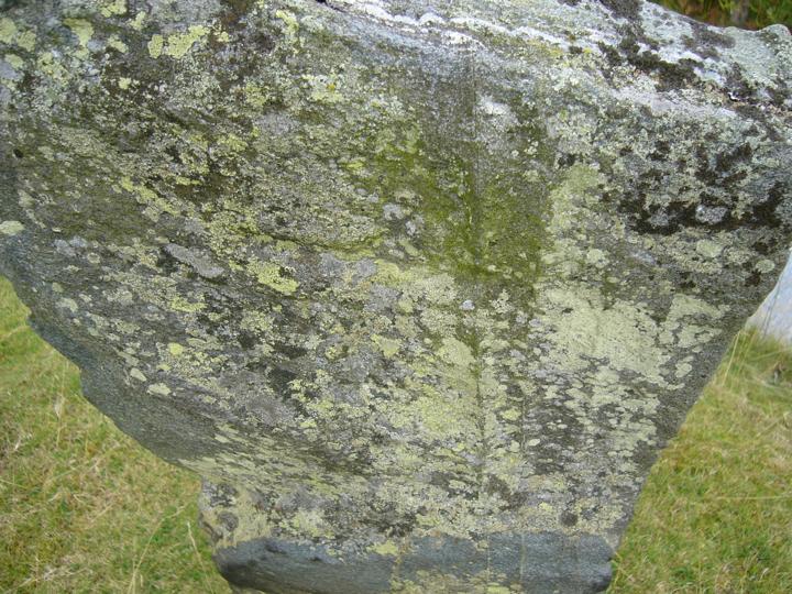
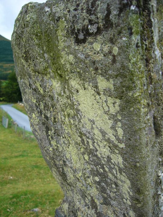
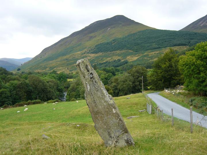
A few miles after Invervar, rounding the corner just before Camusvrachan there is a christianised standing stone known as St Adamnan’s Cross. St Adamnan is said to have stopped a plague from progressing down the glen at this point.
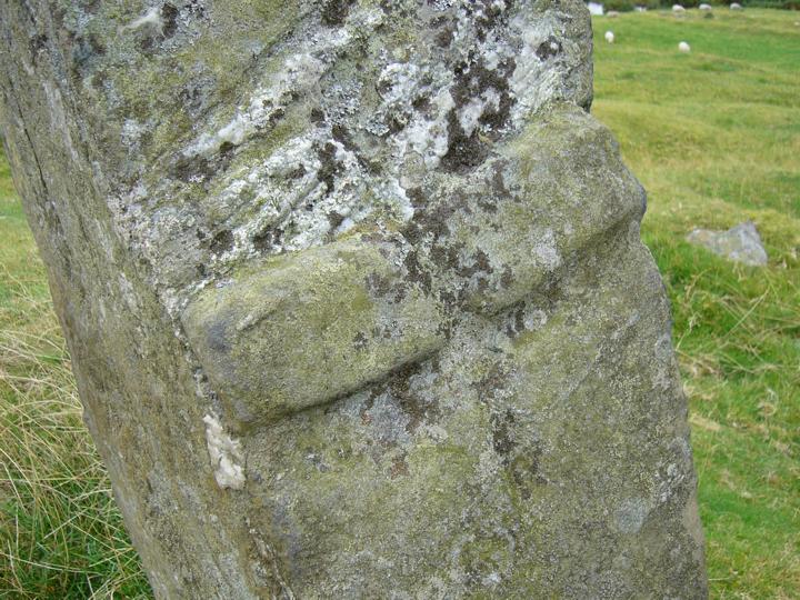
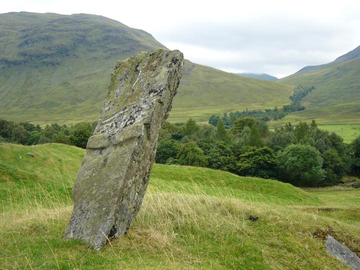
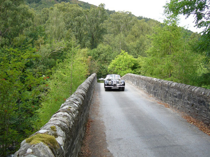
After a few kilometres more cycling, I reached Bridge of Balgie where the road splits – one continues down Glen Lyon while the other crosses the River Lyon and heads south over the shoulder of Ben Lawers. I took this latter road, pausing to take photos on the bridge as a Jaguar XK120 rumbled past.
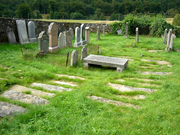
Immediately over the bridge I turned off onto a rough track towards the Meggernie Outdoor Activity Centre. Just next to the centre is the ancient cemetery of Cladh Bhranno, probably dating to Early Christian times. Some of the grave slabs are clearly extremely old.
Continuing along the track following the course of the River Lyon I came to the fort of Kerrowmore.
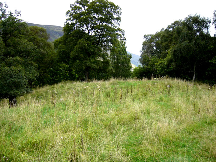
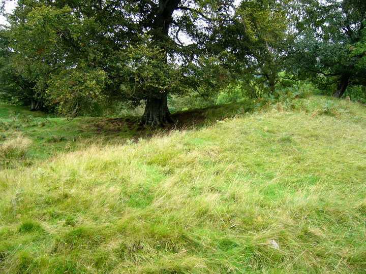
It’s a very difficult site to photograph, and the photos don’t do it justice. It’s sometimes referred to as a homestead, and as with the other “homesteads” in Glen Lyon, it consists of a massive circular wall, and stands in a defensive position – in this case on a small cliff above a bend in the River Lyon. Following the track a bit further brings you to Clach an t-Sioslaich – Chisholm’s Stone – where a chief of Clan Chisholm was killed in the 14th century.
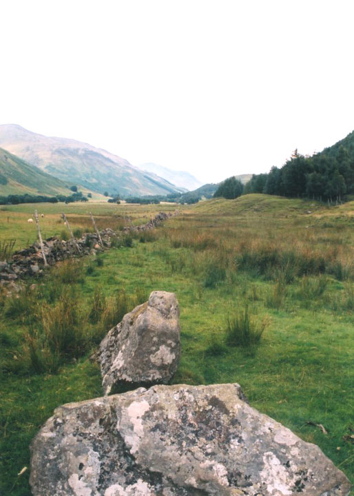
The Chisholms had attacked the castle of John Macdougall of Lorne to retrieve cattle stolen from them. After killing six of Macdougall’s seven sons, the Chisholm chief pushed up his visor to wipe his brow, and his hand was pinned to his forehead by an arrow fired by MacCallum the Cobbler. The stone was split by a roadman in the 19th century.
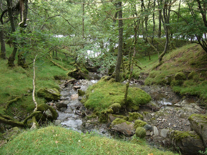
Turning around, I retraced my way back through the wonderfully green forest. I stopped to take a photo of a picturesque burn trickling it’s way off Creag Charannach into the River Lyon.
And then it was back onto the tarmac for the long ride back along Glen Lyon to the car.

