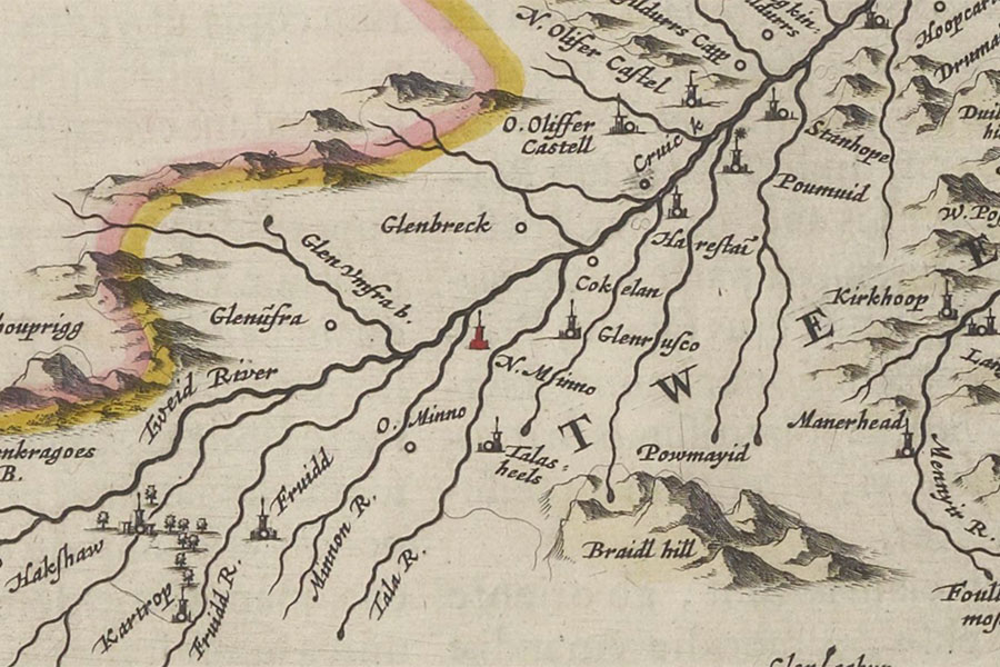
Wester Stanhope
Twee-dail with the Sherifdome of Etterik-Forest called also SelkirkJoan Blaeu, 1654image courtesy of NLS


Alternative names for Wester Stanhope
Easter Stanhope; Stanhope; Stanhope Old Tower; Wastsyde of Stanhope; Wastsyde of Stanehope
Where is Wester Stanhope?
Wester Stanhope is in the parish of Drumelzier and the county of Peeblesshire.
Grid reference:NT 1212 2954
Lat / long:55.551609,-3.3945417