
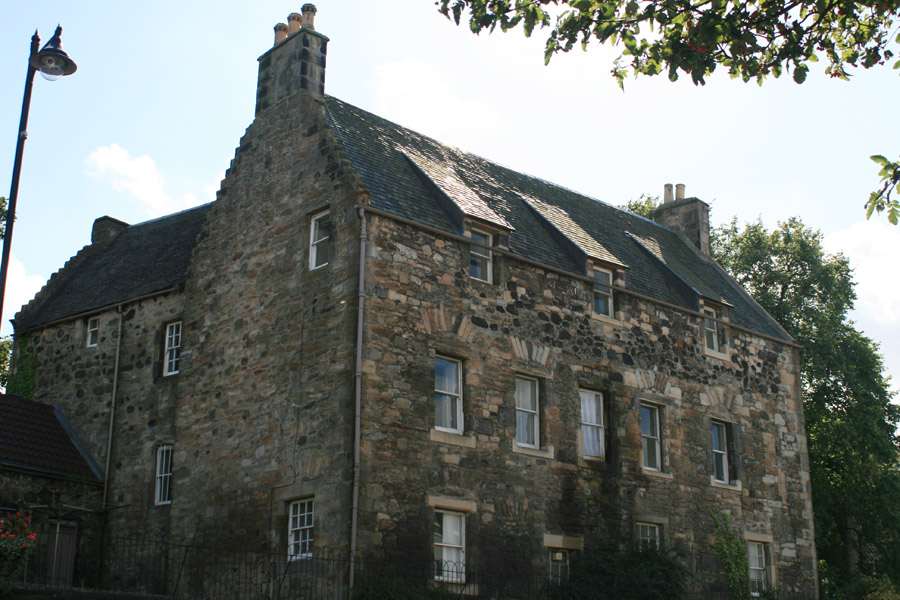
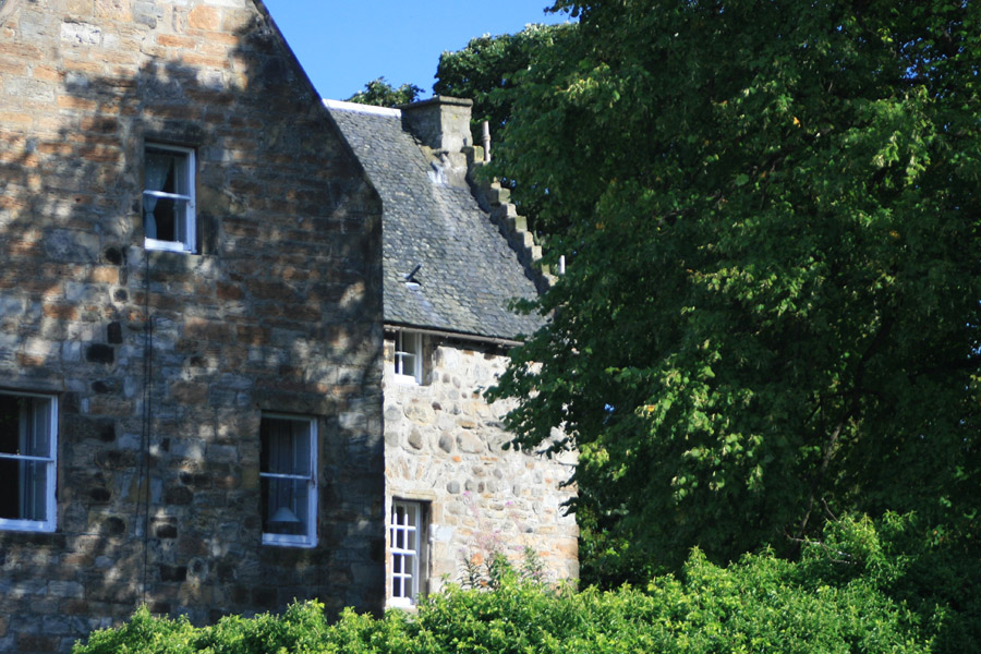
West Port House


Alternative names for West Port House
297-299 High Street
Where is West Port House?
West Port House is in the parish of Linlithgow and the county of West Lothian.
Grid reference:NS 99653 77027
Lat / long:55.975779,-3.609526
297-299 High Street
West Port House is in the parish of Linlithgow and the county of West Lothian.
Grid reference:NS 99653 77027
Lat / long:55.975779,-3.609526


Enter a starting point


