Portrack Castle
Portrack Castle was a 16th century castle which was later associated with the Maxwell family.
In 1593 George Maxwell of Drumcoltran was taken prisoner by the Johnstones at the Battle of Dryfe Sands along with Amer Maxwell of Carnsalloch, William Maxwell of Tinwald, younger, and John Maxwell of Portrack.
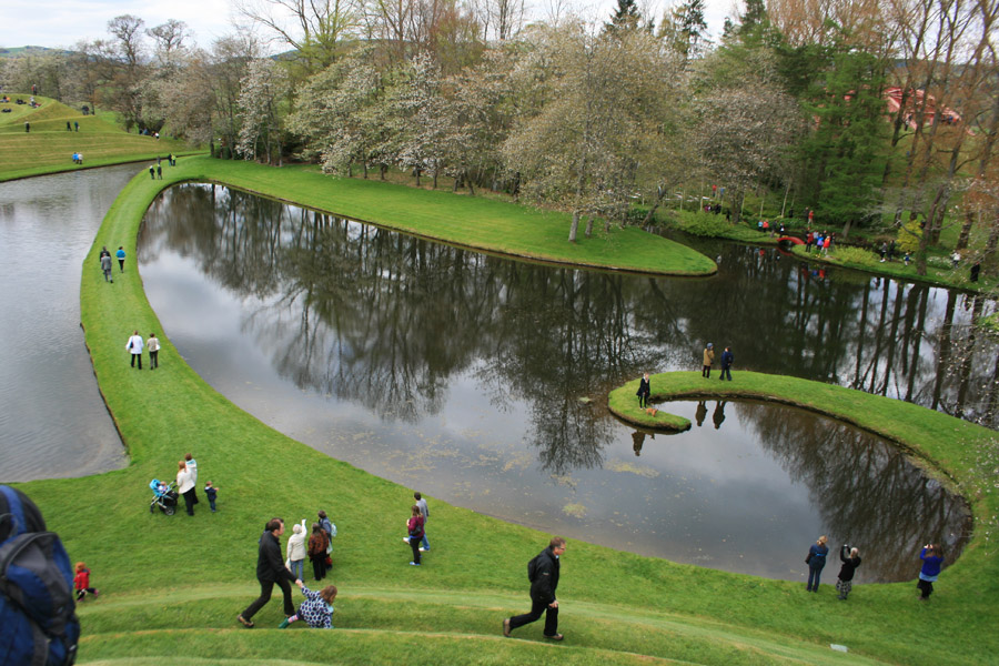
All that remains of the castle is a collapsed section of wall which once formed the south-west corner of a tower. The mound of rubble, around 1.0m in height, is obscured by trees and undergrowth and the area was heavily-landscaped by the designer Charles Jencks. The site is within the gardens, known as The Garden of Cosmic Speculation, of the 19th century Portrack House.


Alternative names for Portrack Castle
Porterak; Portract Castle