Old Crawfordton
Where is Old Crawfordton?
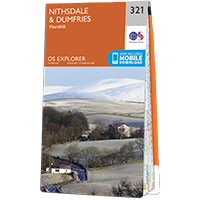
Old Crawfordton is in the parish of Glencairn and the county of Dumfriesshire.
Grid reference:NX 81574 88849
Lat / long:55.179706,-3.8612367
Old Crawfordton is in the parish of Glencairn and the county of Dumfriesshire.
Grid reference:NX 81574 88849
Lat / long:55.179706,-3.8612367

Enter a starting point


