Monkeby (site of)
Alternative names for Monkeby
Mumbiherste; Munkbiherste; Nether Mumbie
Where is Monkeby?
Monkeby is in the parish of Canonbie and the county of Dumfriesshire.
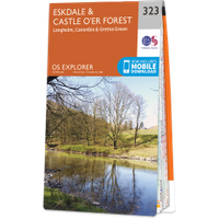
Grid reference:NY 379 797
Lat / long:55.107798,-2.9749264
Mumbiherste; Munkbiherste; Nether Mumbie
Monkeby is in the parish of Canonbie and the county of Dumfriesshire.
Grid reference:NY 379 797
Lat / long:55.107798,-2.9749264

Enter a starting point


