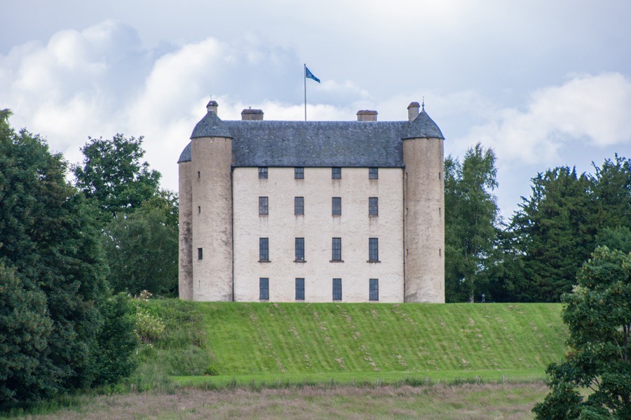
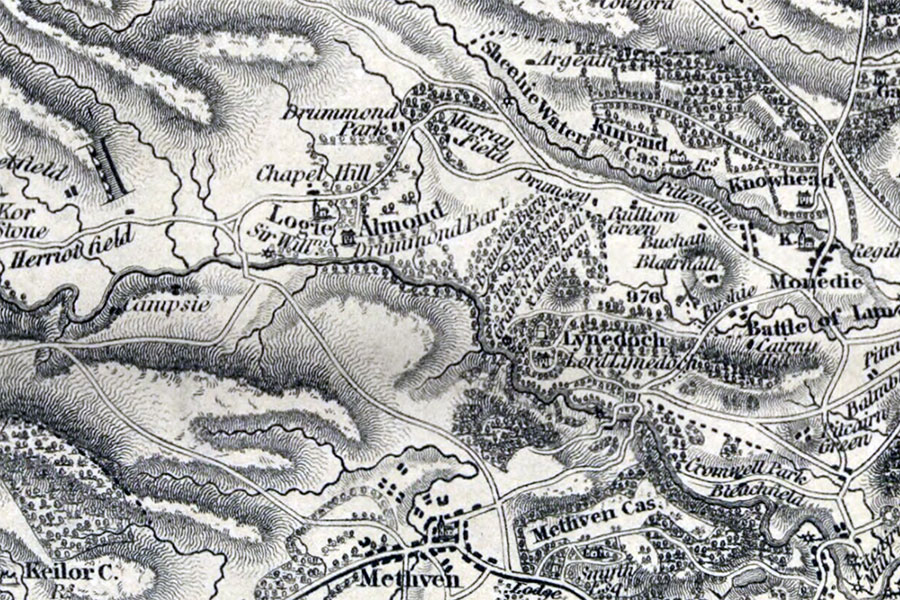
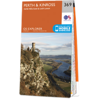
Methven Castle


Parish: Methven

County: Perthshire

Grid reference: NO 04166 26040

Lat / long: 56.416868, -3.554836

The historic map is an Ordnance Survey map from 1919 to 1947, and is provided by the National Library of Scotland

blog comments powered by Disqus

created Tuesday, June 28th, 2011 at 2:34 pm, last updated Tuesday, June 28th, 2011 at 2:34 pm