Kippen Castle


Alternative names for Kippen Castle
Castlehill
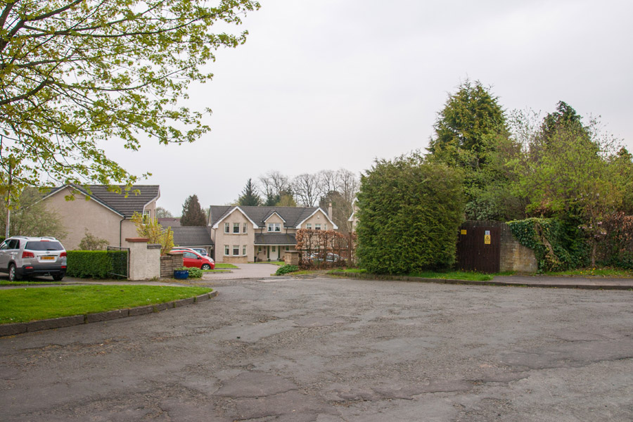
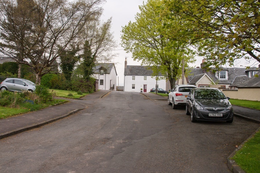
Where is Kippen Castle?
Kippen Castle is in the parish of Kippen and the county of Stirlingshire.
Grid reference:NS 6509 9466
Lat / long:56.12554600,-4.17189260
Castlehill
Kippen Castle is in the parish of Kippen and the county of Stirlingshire.
Grid reference:NS 6509 9466
Lat / long:56.12554600,-4.17189260

Enter a starting point


