Alderstone House
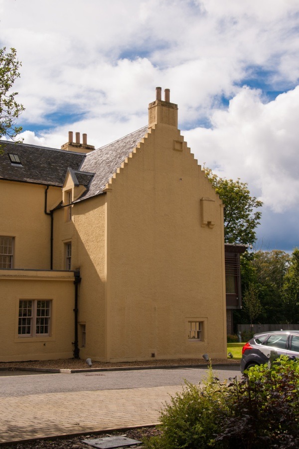
Alderstone House is a 17th century laird’s house which incorporates a 16th century tower.
The walls of the original square tower at the north-west corner of the building are around twice as thick as those in the rest of the structure.
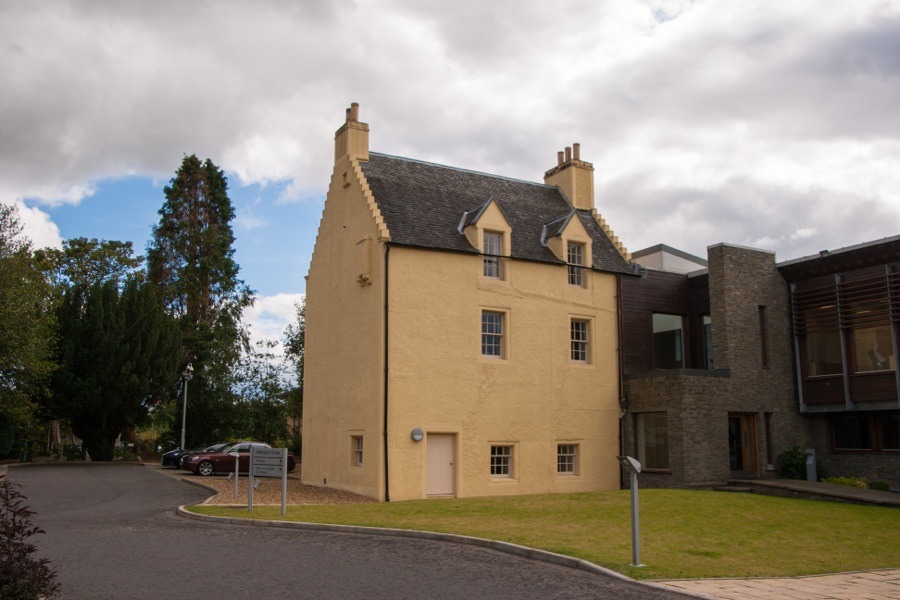
The tower was extended to the south and east in the 17th century to form an L-plan laird’s house.
In the 18th century the wing was further extended to the south-east.
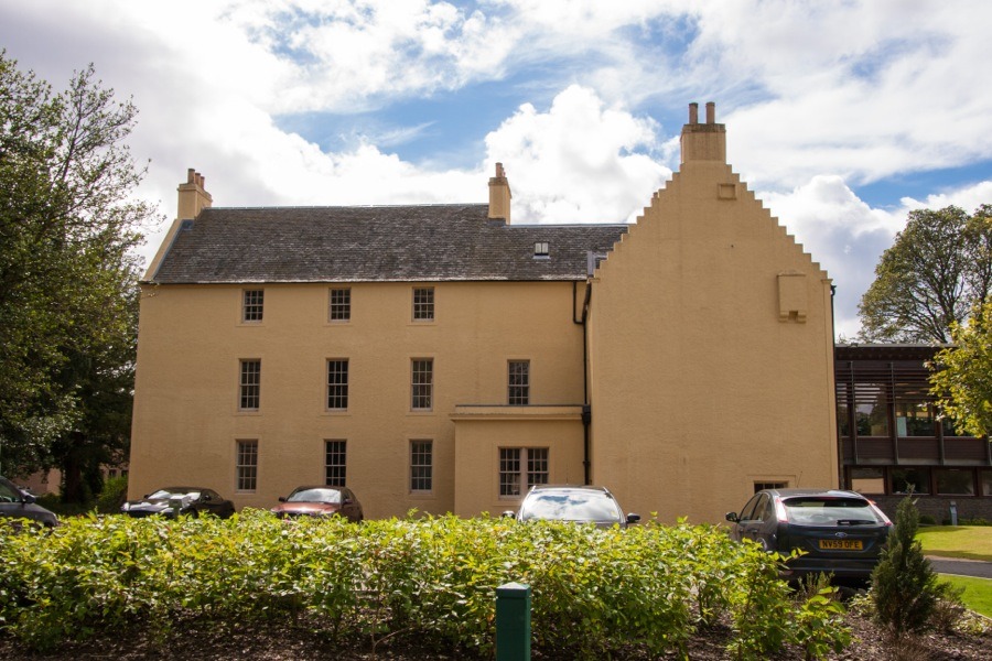
A large L-plan modern office block was added in the 20th century, projecting west and south from the south-west façade of the old building.


Alternative names for Alderstone House
Alderston House; Alderstown
Where is Alderstone House?
Alderstone House is in the parish of Mid Calder and the county of Midlothian.
Grid reference:NT 04389 66287
Lat / long:55.880285,-3.529796