Giant's Grave
This small cairn is situated just off the main road through the Sma’ Glen in woodland, to the east of the Saddlin’ Mare standing stone.
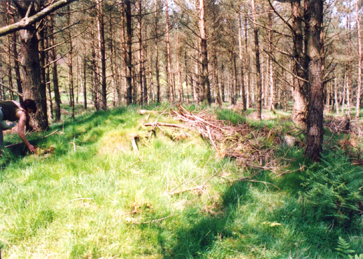
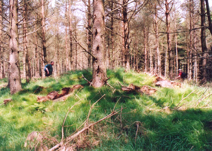
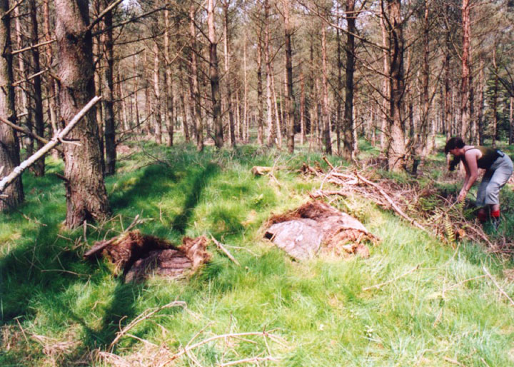
Measuring approximately 7.5m in diameter, and 1.0m in tall at its heighest point, the cairn is now now covered with grass, but several large stones can be seen through the turf defining the perimeter.
There appears to have been some confusion regarding the use of the names Clach Ossian, Giant’s Grave and Soldier’s Grave over the years. The Soldier’s Grave next to Clach Ossian further up the glen is sometimes wrongly referred to as the Giant’s Grave.


Alternative names for Giant's Grave
Sma' Glen
Where is Giant's Grave?
Giant's Grave is in the parish of Fowlis Wester and the county of Perthshire.
Grid reference: NN 9050 2956
Lat / long: 56.445502, -3.777777
OS Map for Giant's Grave

OS Explorer map OL47
Buy from Ordnance Survey

Directions to Giant's Grave
Enter a starting point


Weather at Giant's Grave
max 17°C / min 14°C
1011mb
64%
14%
04:26 19:57
Few clouds
Weather observed at Perth and Kinross at 10:58


