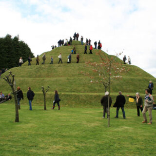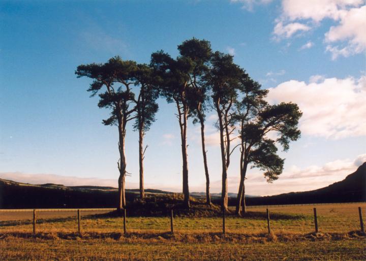
This cairn stands on the floodplain of the River Tummel as it sweeps past Pitlochry and measures approximately 16.0m in diameter, reaching a height of around 2.0m at the centre. Around it’s base are the remains of an elliptical stony bank approximately 3.5m wide, most obvious to the NW but now very faint to the SE. Overall this bank measures around 31.0m by 28.5m NW-SE. An apparent ditch between this bank and the mound may have occurred naturally over the years.
It is said that around the cairn there used to be a ring of standing stones, but that these were removed around 1840 to repair the river embankment, suggesting that this may originally have been a stone circle with central cairn.


Where is Dunfallandy?
Dunfallandy is in the parish of Logierait and the county of Perthshire.
Grid reference: NN 9474 5700
Lat / long: 56.6929734, -3.719529861
OS Map for Dunfallandy

Directions to Dunfallandy
Enter a starting point

Weather at Dunfallandy
max 9°C / min 9°C
1016mb
87%
100%
05:23 19:09
Overcast clouds
Weather observed at Milton of Edradour at 00:29
References (books)

Pitlochry, 1923
Pitlochry, 1925