Machuim
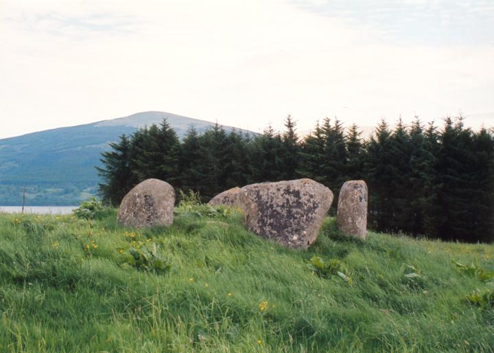
The stone circle at Machuim is in quite a ruinous state, but nonetheless has an impressive feel to it. With a look more akin to the circles of Aberdeenshire than Perthshire, it is made up of several large stones crowning a round mound protruding from a long natural ridge across the field. It has previously been listed wrongly by writers as Machulm or Machuinn.
Only four stones remain standing, while there are a further three that look as though they once stood. The earth mound on which they stand is approximately 10.0m in diameter, and on its SE side reaches a height of 1.0m above the field surface. Some field clearance material has been placed within the circle, but there is also a circle of kerb stones around the base of the mound.
Although the condition of the circle is quite sad, it enjoys a position on the lower slopes of Ben Lawers, which rises impressively behind it, affording good views across Loch Tay to the hills on the other side.
SE stone – 1.40m tall
S stone – 2.00m long
Circle diameter – 6.70m x 5.80m WSW-ENE


Alternative names for Machuim
Lawer's Mill
Where is Machuim?
Machuim is in the parish of Kenmore and the county of Perthshire.
Grid reference: NN 6820 4015
Lat / long: 56.53451468, -4.143343358
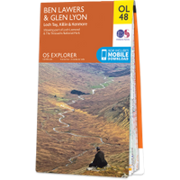
OS Map for Machuim
Directions to Machuim
Enter a starting point


Weather at Machuim
max 11°C / min 11°C
1024mb
96%
100%
04:14 20:12
Light rain
Weather observed at Comrie at 22:01
References (books)
London and New Haven, 1976