Logierait
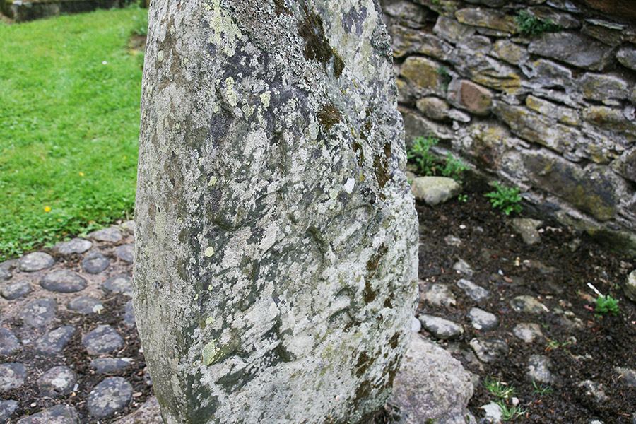
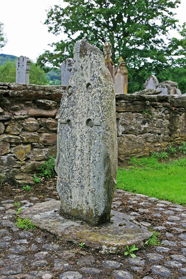
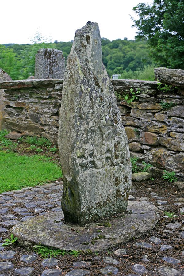
This stone is a Class II cross-slab which stands just behind the church in Logierait.
Measuring just under a metre tall and just over 10cm thick, part of the top has broken off. On the south-south-east face the stone is carved with a Christian cross featuring Celtic knotwork.
On the north-north-west face is a figure riding a horse, below which is a serpent and Z-rod.


Alternative names for Logierait
Logierait 1
Where is Logierait?
Logierait is in the parish of Logierait and the county of Perthshire.
Grid reference: NN 96798 52019
Lat / long: 56.648615, -3.684569
OS Map for Logierait

Directions to Logierait
Enter a starting point
Get directions

Weather at Logierait
8°C
max 10°C / min 8°C
max 10°C / min 8°C
20km/h NW
1014mb
64%
76%
05:03 19:24
1014mb
64%
76%
05:03 19:24
Light rain
Weather observed at Milton of Edradour at 17:36
References (websites)
Pictish stones near Logierait
Pictish sites near Logierait
Pictish placenames near Logierait
Ancient sites near Logierait
Castles near Logierait

Accommodation near Logierait
Cuil-an-Daraich Guest House
0.1km away
Dalshian Guest House
4.7km away
Atholl Palace Hotel
6.3km away
Acarsaid Hotel
6.4km away
Rosemount Hotel
6.5km away
Beinn Bhracaigh
6.6km away
Knockendarroch House Hotel
6.6km away
Carra Beag Guest House
6.7km away
Scotland's Hotel & Spa
6.7km away
Fisher's Hotel
6.8km away
Accommodation search
Cafés, restaurants & bars near Logierait
Atholl Palace Hotel
6.3km away
Victoria's Restaurant
6.6km away
Scotland's Hotel & Spa
6.7km away
Kingfisher Bar
6.8km away
The Old Mill Inn
6.8km away
McKays
6.9km away
Strathgarry Restaurant & Rooms
6.9km away
The Auld Smiddy Inn
7.0km away
Moulin Hotel
7.6km away
Atholl Arms Hotel, Dunkeld
11.1km away


