Tower (site of)
Where is Tower?
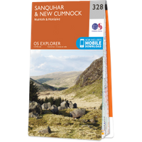
Tower is in the parish of Kirkconnel and the county of Dumfriesshire.
Grid reference:NS 75604 11952
Lat / long:55.385715,-3.9651531
Tower is in the parish of Kirkconnel and the county of Dumfriesshire.
Grid reference:NS 75604 11952
Lat / long:55.385715,-3.9651531

Enter a starting point


