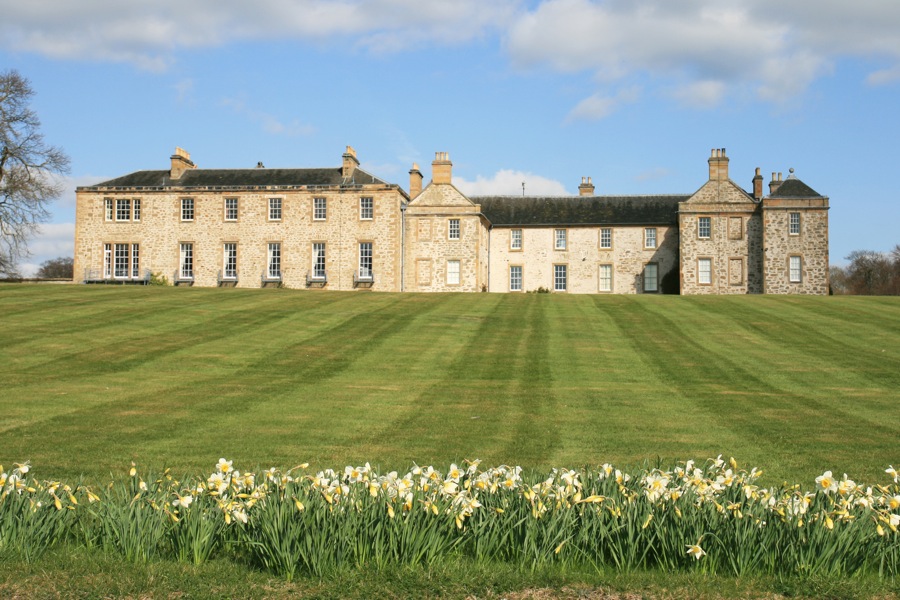
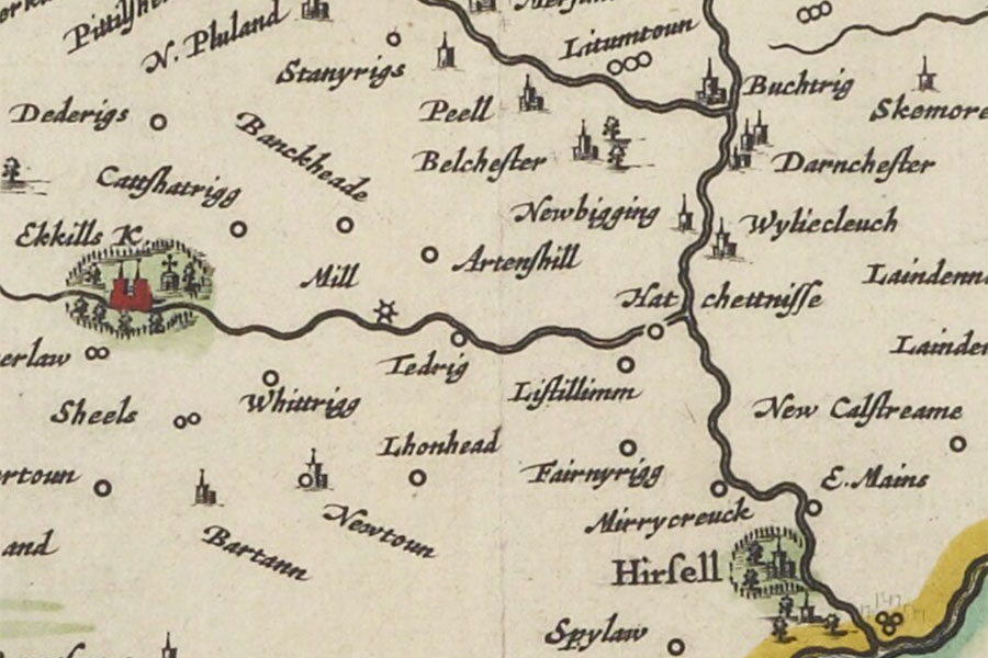
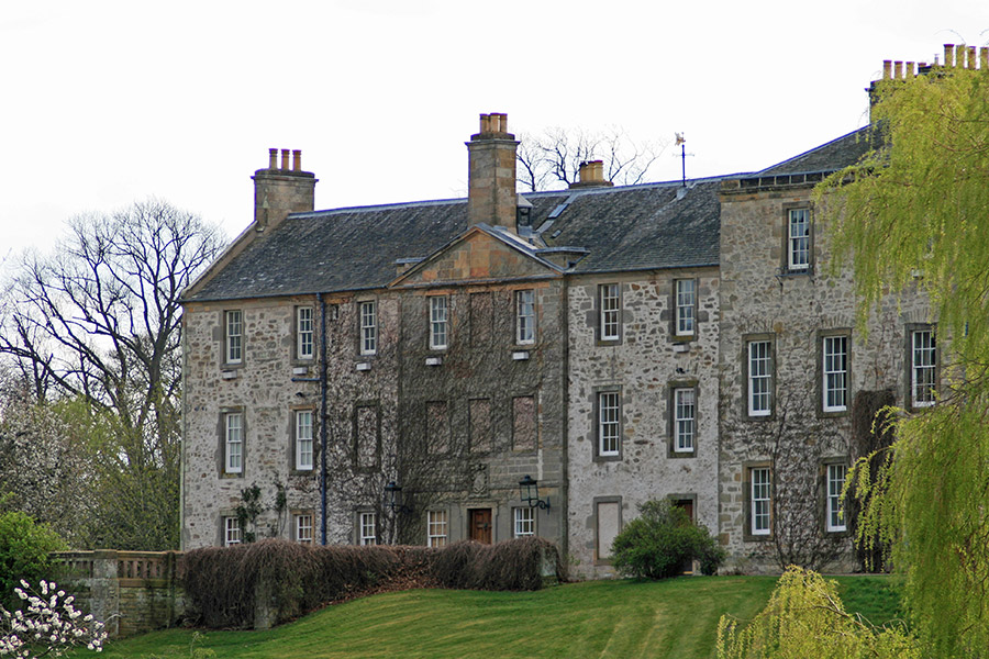
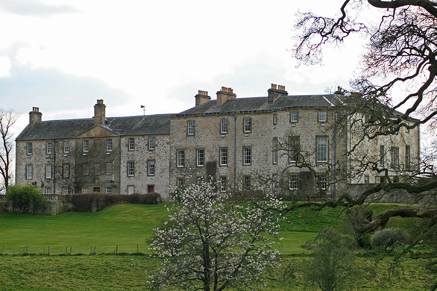
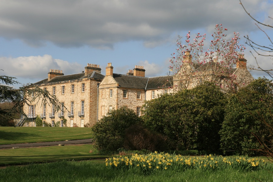
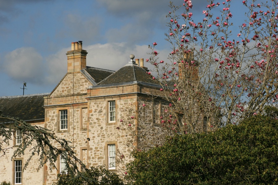
Hersill; Hirsell
The Hirsel is in the parish of Coldstream and the county of Berwickshire.
Grid reference:NT 82944 40745
Lat / long:55.659922,-2.272654
Enter a starting point