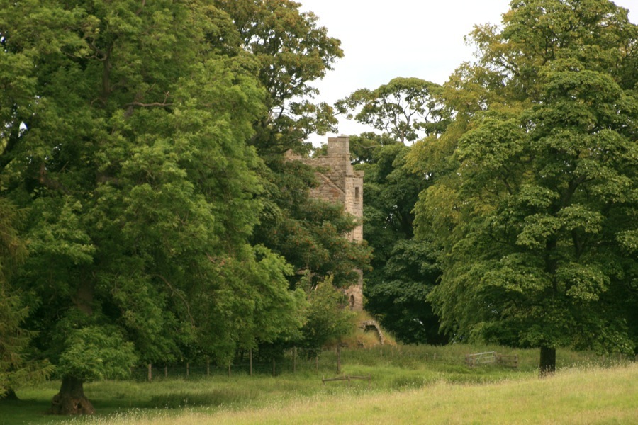
Staneyhill Tower
Alternative names for Staneyhill Tower
Hopetoun Tower; Stenyhill; Stoney Hill House; Stoneyhill; Stoniehill; Stonyhill
Hopetoun Tower; Stenyhill; Stoney Hill House; Stoneyhill; Stoniehill; Stonyhill
Staneyhill Tower is in the parish of Abercorn and the county of West Lothian.
Grid reference:NT 09166 78511
Lat / long:55.990969,-3.457534


Enter a starting point


