Slaidhills


Where is Slaidhills?
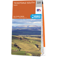
Slaidhills is in the parish of Teviothead and the county of Roxburghshire.
Grid reference:NT 4295 0958
Lat / long:55.376914,-2.901761
Slaidhills is in the parish of Teviothead and the county of Roxburghshire.
Grid reference:NT 4295 0958
Lat / long:55.376914,-2.901761

Enter a starting point