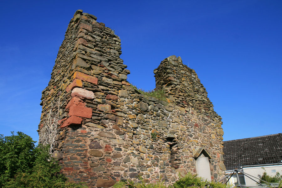
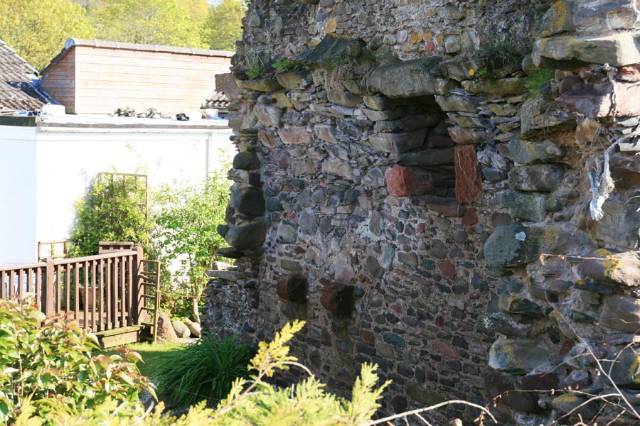
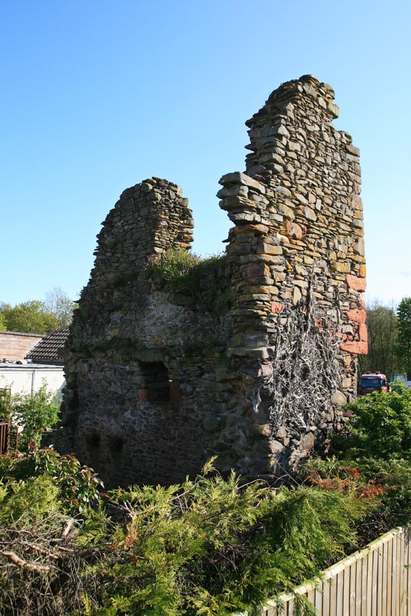
Rhymer's Tower
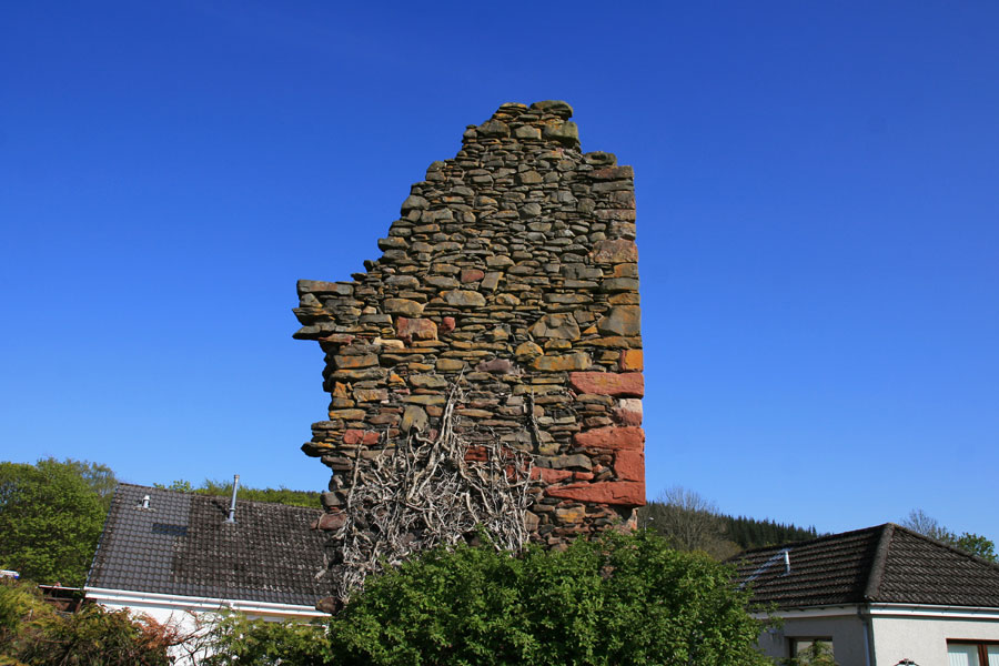


Alternative names for Rhymer's Tower
Earlston Tower; Erceldoune; Ercildoune; Ersilton; Ersiltoun
Where is Rhymer's Tower?
Rhymer's Tower is in the parish of Earlston and the county of Berwickshire.
Grid reference:NT 57205 38250
Lat / long:55.635914,-2.6813418