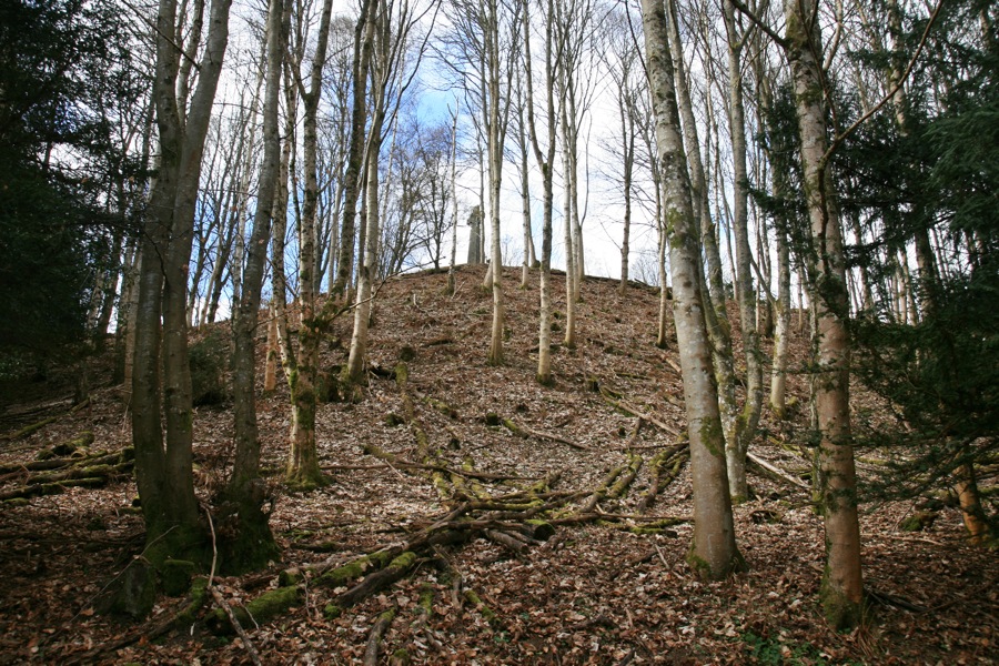
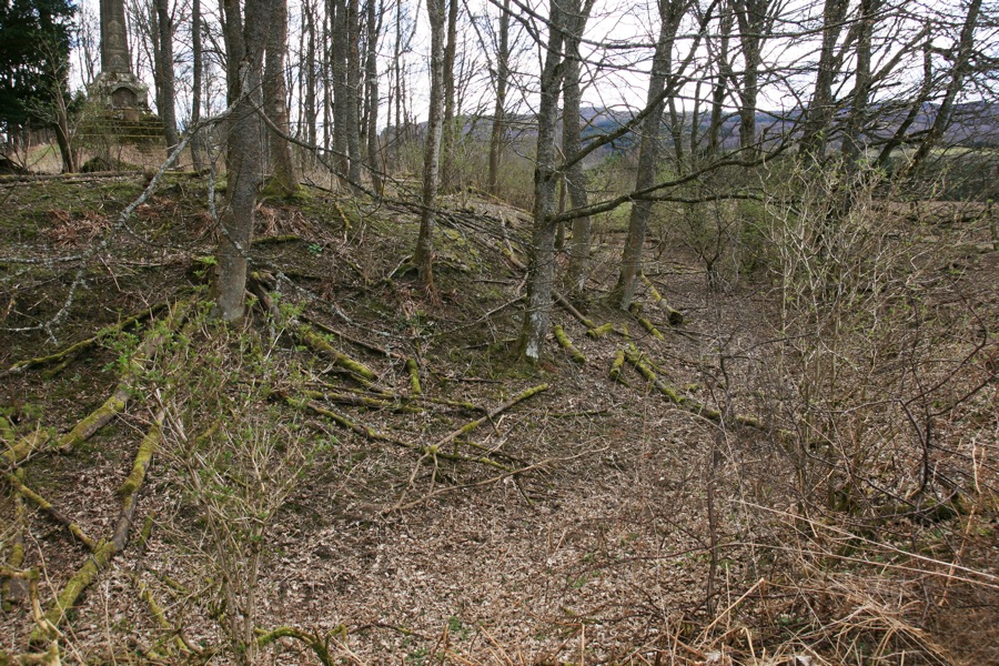
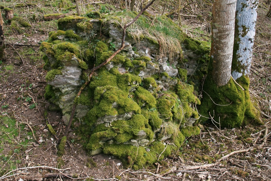
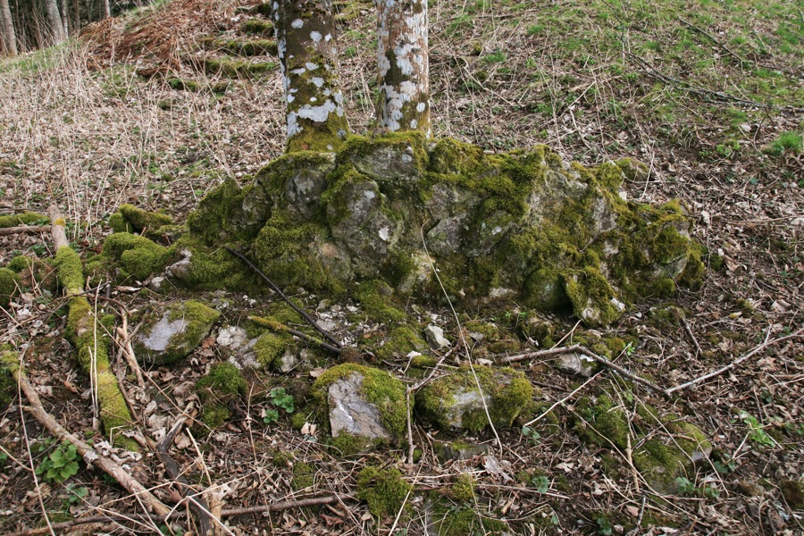
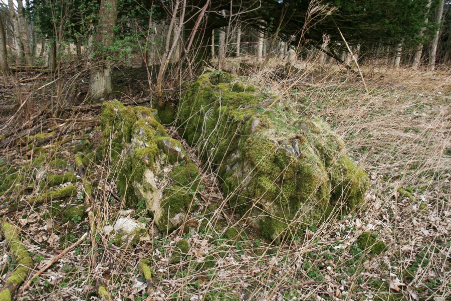
Rath of Logierait


Alternative names for Rath of Logierait
Gallows Knoll; Rath Of Logie Rait; Tom Na Croiche
Where is Rath of Logierait?
Rath of Logierait is in the parish of Logierait and the county of Perthshire.
Grid reference:NN 9740 5227
Lat / long:56.650992,-3.674888


