Raesknowe (site of)


Where is Raesknowe?
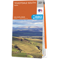
Raesknowe is in the parish of Hawick and the county of Roxburghshire.
Grid reference:NT 456 104
Lat / long:55.384992,-2.859406
Raesknowe is in the parish of Hawick and the county of Roxburghshire.
Grid reference:NT 456 104
Lat / long:55.384992,-2.859406

Enter a starting point