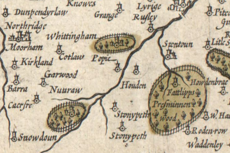
Nunraw House
A new description of the shyres Lothian and LinlitquoHendrik Hondius, Amsterdam, 1630image courtesy of NLS
Nunraw House is built around a 16th century Z-plan tower house. The north-east tower remains externally unaltered, and while everything to the south of this follows the line of the original tower, it has all been refaced and had new mouldings added during 19th century remodelling.
A painted ceiling features line drawings which are similar in style to those on a 17th century painted ceiling at Cockburnspath House.


Alternative names for Nunraw House
Nunraw Old Abbey; Nunraw Tower; Quhitcastell; Whitecastle
Where is Nunraw House?
Nunraw House is in the parish of Garvald and Bara and the county of East Lothian.
Grid reference:NT 59753 70615
Lat / long:55.92682221,-2.645016052