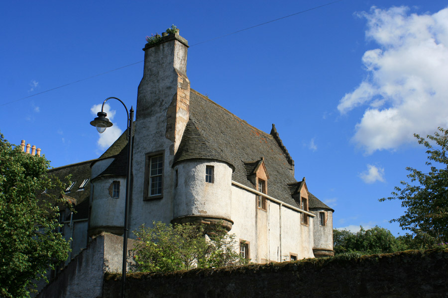
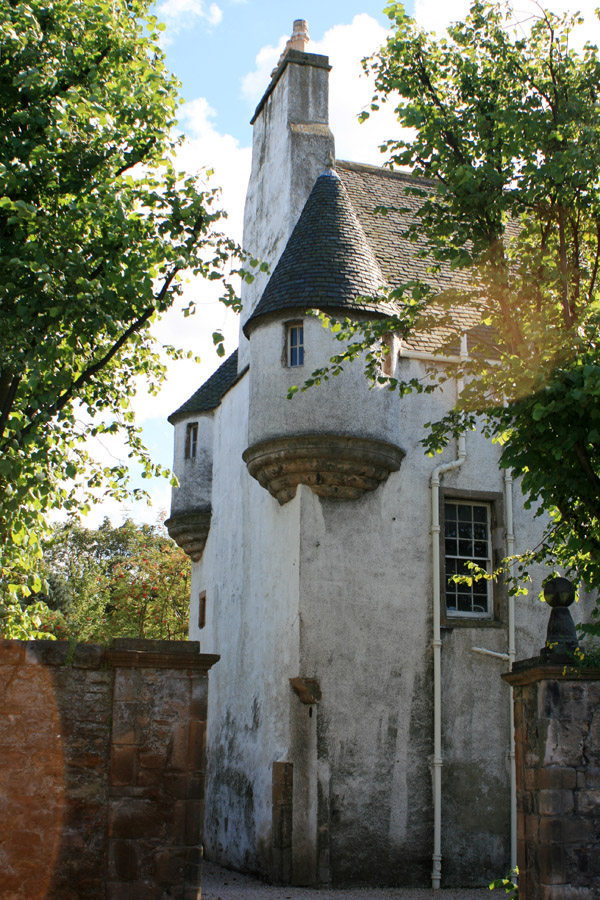
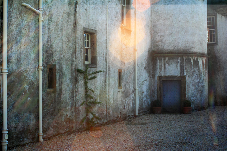
Northfield House


Alternative names for Northfield House
Northfields House
Where is Northfield House?
Northfield House is in the parish of Prestonpans and the county of East Lothian.
Grid reference:NT 38915 73921
Lat / long:55.954451,-2.979687
Northfields House
Northfield House is in the parish of Prestonpans and the county of East Lothian.
Grid reference:NT 38915 73921
Lat / long:55.954451,-2.979687

Enter a starting point


