Newyearfield


Alternative names for Newyearfield
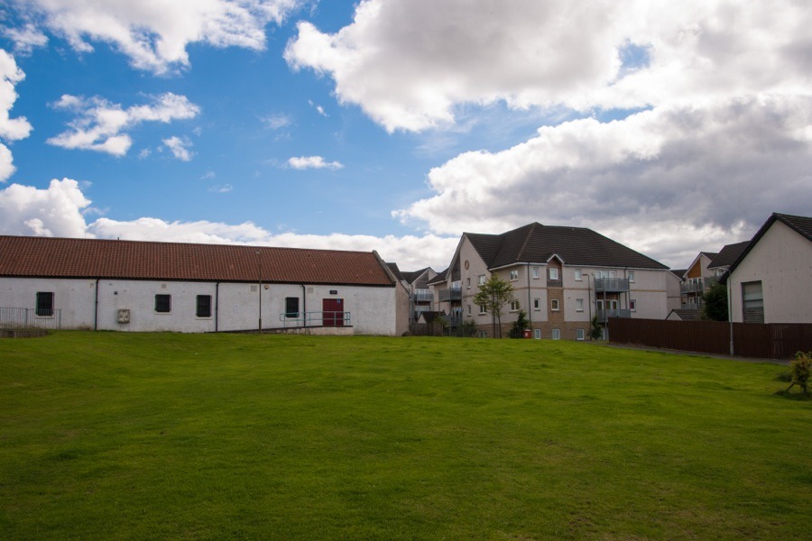
Newyearfield Farm
Where is Newyearfield?
Newyearfield is in the parish of Livingston and the county of West Lothian.
Grid reference:NT 042 683
Lat / long:55.898713,-3.532841
Newyearfield Farm
Newyearfield is in the parish of Livingston and the county of West Lothian.
Grid reference:NT 042 683
Lat / long:55.898713,-3.532841


Enter a starting point


