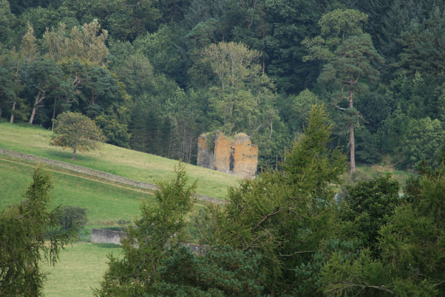
Nether Horsburgh Castle
Nether Horsburgh is a ruined 16th century tower house which belonged to the Horsbrugh family.
It was one of a series of towers along the Tweed valley, each of which was visible from the next. Elibank would signal to Holylee, Holylee to Scrogbank, Scrogbank to Caberston, Caberston to Bold, Bold to Purvishill and then on to a continuing chain from Innerleithen to the north-west.
The signal would then pass along to Traquair, Grieston, Ormiston, Cardrona, Nether Horsburgh, Horsbrugh, Haystoun, Peebles and on to Neidpath. From Neidpath it would continue to Caverhill, Barns, Lyne, Easter Happrew, Easter Dawyck, Hillhouse, West Dawyck, Dreva and on to Tinnis.
In 1617 the Horsbrugh family sold the superiority of their lands of Horsbrugh to Sir Stewart of Shillinglaw and in 1634 his son, James Stewart, had a sasine of Nether Horsburgh.


Alternative names for Nether Horsburgh Castle
Nether Horsbrugh Castle