Monkland House (site of)
Alternative names for Monkland House
Pedderslourn
Where is Monkland House?
Monkland House is in the parish of New Monkland and the county of Lanarkshire.
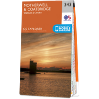
Grid reference:NS 7743 6375
Lat / long:55.85132300,-3.95942210
Pedderslourn
Monkland House is in the parish of New Monkland and the county of Lanarkshire.
Grid reference:NS 7743 6375
Lat / long:55.85132300,-3.95942210

Enter a starting point


