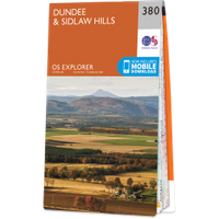
Moncur Castle
Where is Moncur Castle?
Moncur Castle is in the parish of Inchture and the county of Perthshire.
Grid reference:NO 28351 29519
Lat / long:56.452418,-3.163962
Moncur Castle is in the parish of Inchture and the county of Perthshire.
Grid reference:NO 28351 29519
Lat / long:56.452418,-3.163962

Enter a starting point