Meggernie Castle
Where is Meggernie Castle?
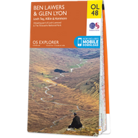
Meggernie Castle is in the parish of Fortingall and the county of Perthshire.
Grid reference:NN 55382 46033
Lat / long:56.583879,-4.356159
Meggernie Castle is in the parish of Fortingall and the county of Perthshire.
Grid reference:NN 55382 46033
Lat / long:56.583879,-4.356159

Enter a starting point


