Lochhouse Tower
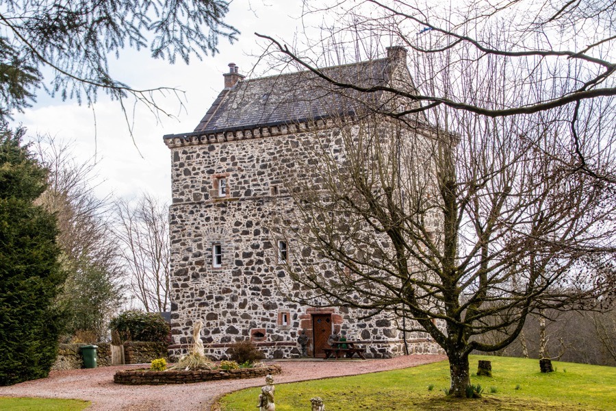
Lochhouse Tower is a 16th century tower house which has now been restored for use as a residence.
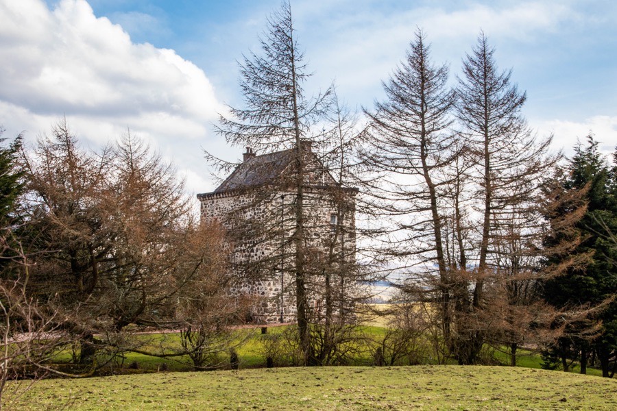
The tower is thought to have been built by the Johnstones of Corehouse, possibly around 1536, and it may have replaced an earlier castle. It is certainly on record as occupied by a Johnstone in 1567. It stands on a slight hillock which was originally bounded on two sides by a loch.
Measuring around 11.6m east to west by around 9m north to south with rounded outer corners, the walls are some 1.8m thick at the base. The ground floor is vaulted and protected by shotholes.
The main hall is on the first floor and the outer walls step in slightly at the second floor level. Above this third storey are corbels which may have supported a parapet walk, within which is a garret.
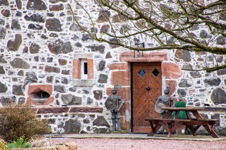
In 1879 the Johnstones sold Lochhouse to Sir William Younger of Auchen whose son, also William, restored the tower around 1930. The tower was re-roofed and repaired in 1973 before undergoing a full refurbishment in 2012.
Lochhouse Tower is now available to rent as self-catering accommodation.


Alternative names for Lochhouse Tower
Lockhouse Tower


