Hutton Castle
Joan Blaeu, Amsterdam, 1654map image courtesy of NLS
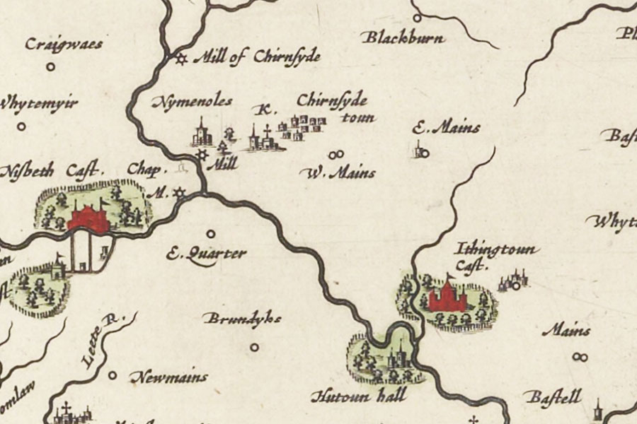
Hutton Castle is marked on Blaeu’s mid-17th century map as Hutoun Hall. It is also marked on Moll’s mid-18th century map with the same spelling.
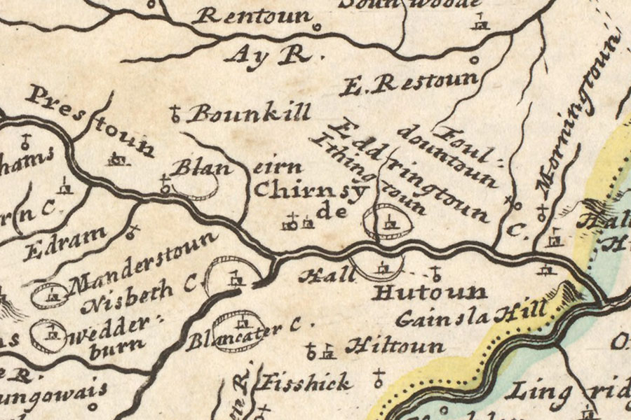
Herman Moll, London, 1745map image courtesy of NLS
In 1916 Sir William Burrell bought Hutton Castle, and he commissioned Robert Lorimer, and later Lorimer’s former pupil Reginald Fairlie, to extend the castle in order to display his extensive art collection. A new north wing was completed in 1927 and Burrell moved in the same year. Hutton Castle was to be his home until his death in 1958.
As part of Burrell’s bequest of his art collection to the city of Glasgow three of the rooms from this wing – the Dining Room, the Drawing Room and the Hall – were moved to and recreated in the Burrell Collection. None of the architectural details or furniture and furnishings from these rooms was original to the castle.


Alternative names for Hutton Castle
Hatton Hall; Hotun; Hutton Hall; Hutoun Hall; Hutoun-hall; Hutounhall; Huttonhall; Hwtounhall