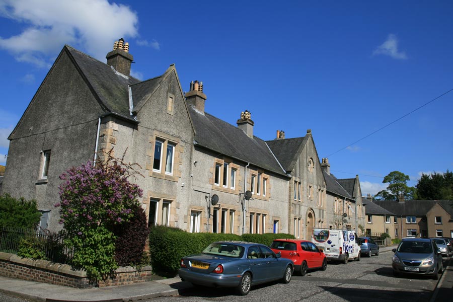
Hunter's Hall
Alternative names for Hunter's Hall
The Peel
Where is Hunter's Hall?
Hunter's Hall is in the parish of Galashiels and the county of Selkirkshire.
Grid reference:NT 4935 3567
Lat / long:55.611978,-2.8056266
The Peel
Hunter's Hall is in the parish of Galashiels and the county of Selkirkshire.
Grid reference:NT 4935 3567
Lat / long:55.611978,-2.8056266

Enter a starting point