Horsleyhill (site of)


Alternative names for Horsleyhill
Horsley Hill
Where is Horsleyhill?
Horsleyhill is in the parish of Minto and the county of Roxburghshire.
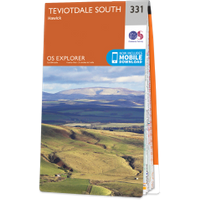
Grid reference:NT 53 19
Lat / long:55.467112,-2.737029
Horsley Hill
Horsleyhill is in the parish of Minto and the county of Roxburghshire.
Grid reference:NT 53 19
Lat / long:55.467112,-2.737029

Enter a starting point