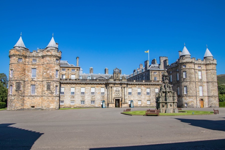
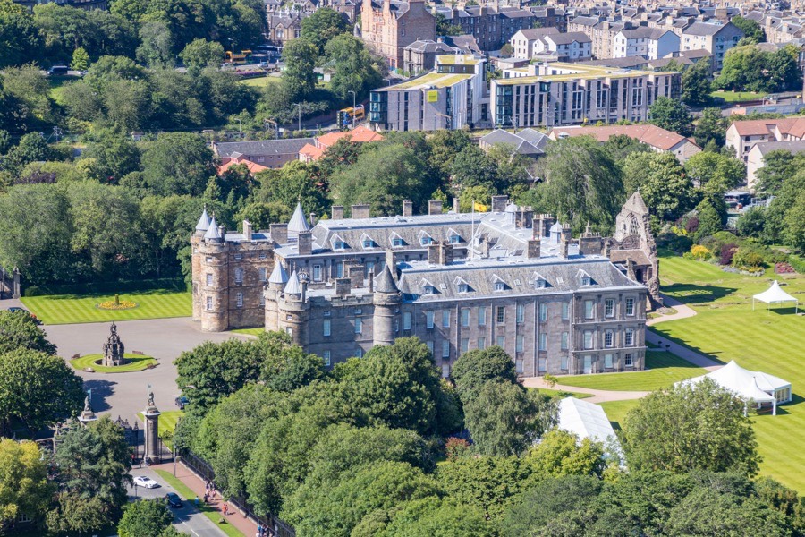
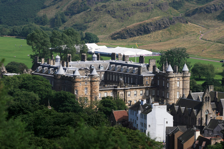
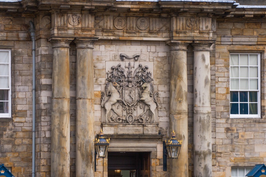
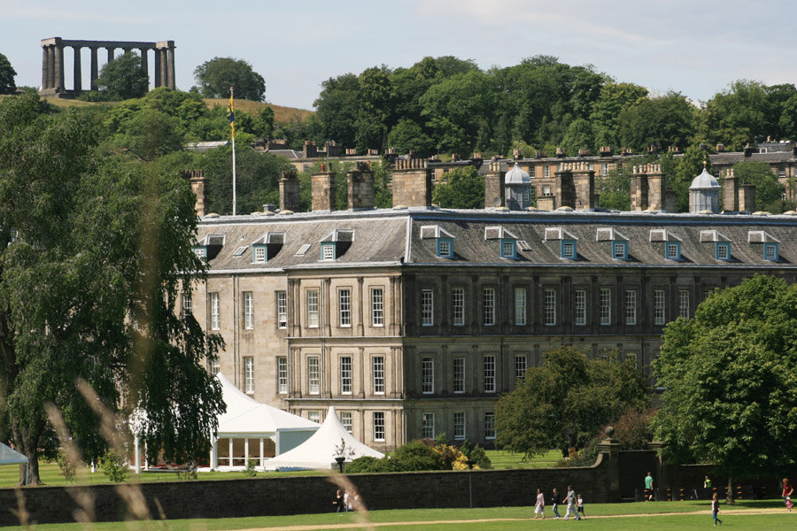
Holyroodhouse
Holyroodhouse is a largely 17th century palace which incorporates an early 16th century fortified tower.
In 1566 it was scene of the murder of Mary Queen of Scots’ private secretary, David Rizzio. Patrick Ruthven, 3rd Lord Ruthven, led a group of rebels who burst into the Queen’s supper room and stabbed Rizzio to death.


Alternative names for Holyroodhouse
Halieruidhous; Halyrudehous; Halyruidhous; Holyrood Palace; Palace of Holyroodhouse
Where is Holyroodhouse?
Holyroodhouse is in the parish of Edinburgh and the county of Midlothian.
Grid reference:NT 26896 73919
Lat / long:55.952770,-3.172144