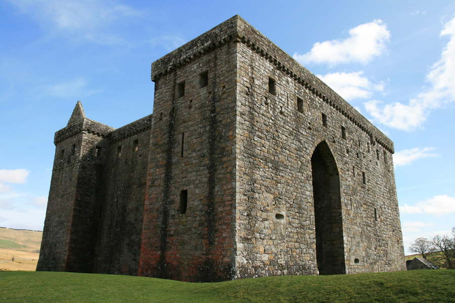
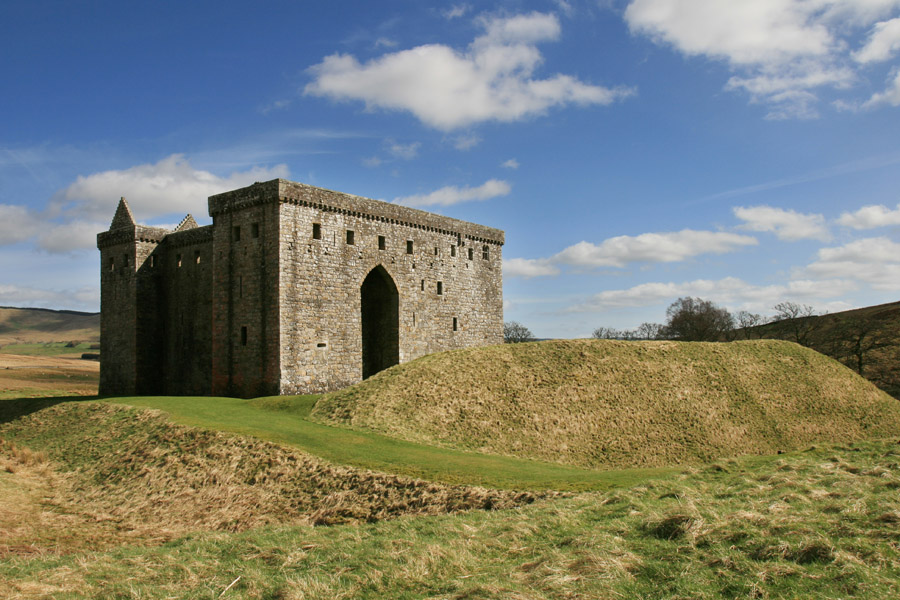
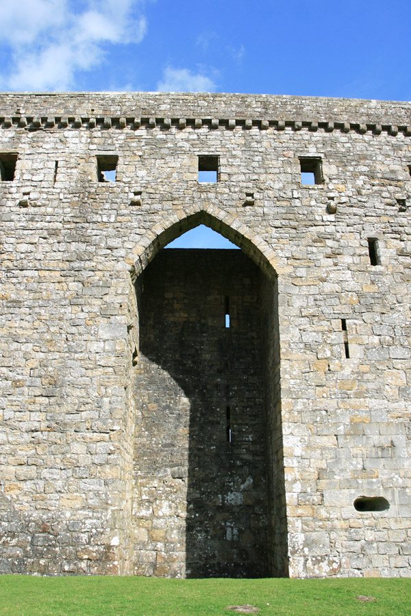
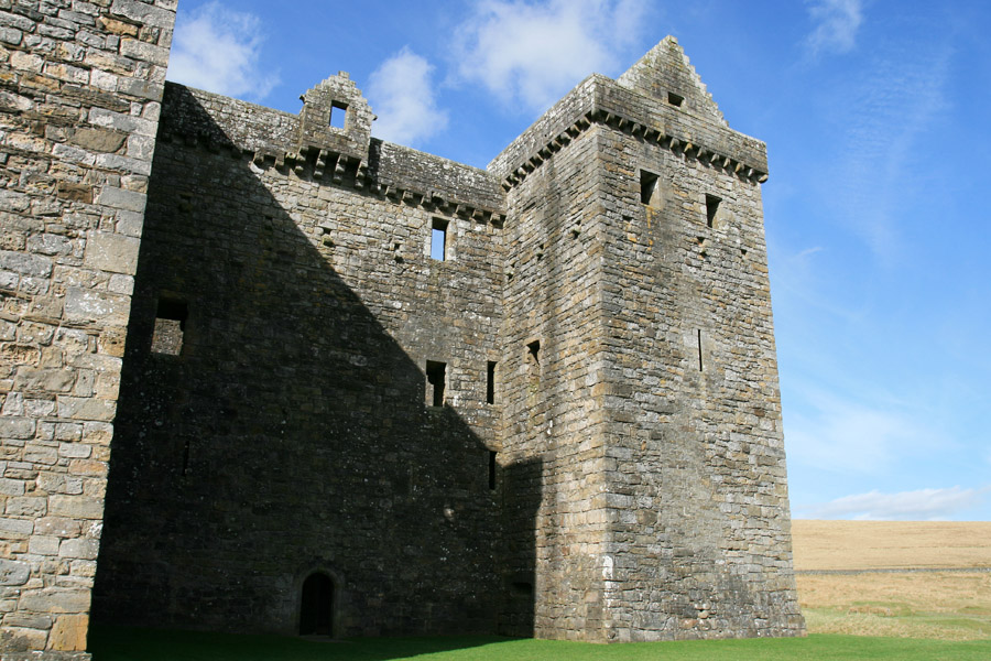
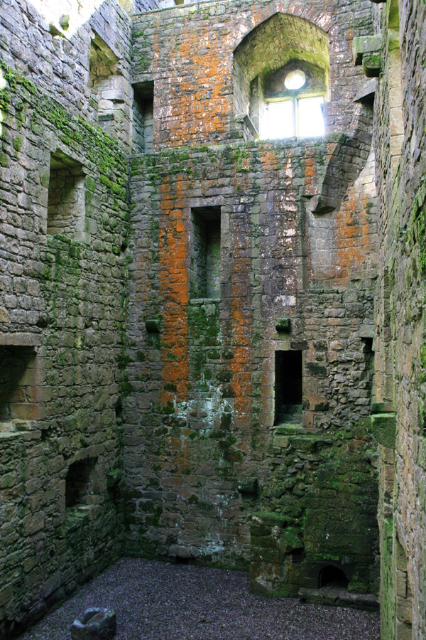
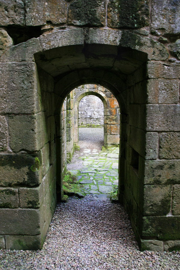
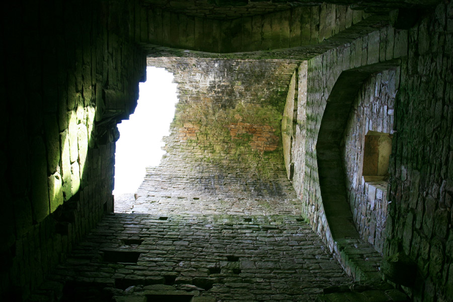
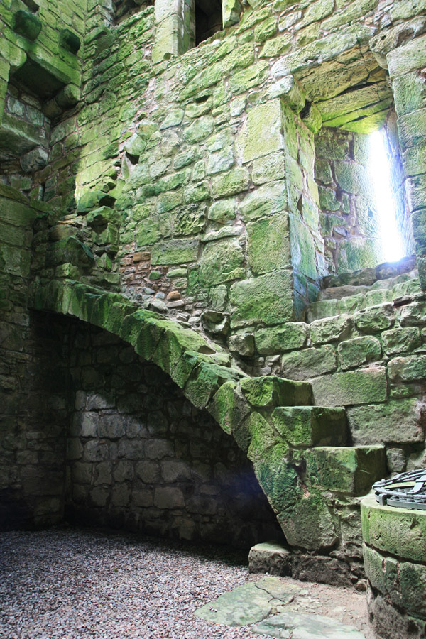
Hermitage Castle
Hermitage Castle is a large and imposing 13th and 14th century castle which was an important part of the Border defences.
The castle is marked as “Armitage” on a map of 1590 which appeared in “An atlas of England and Wales, made by Christopher Saxton”, a book owned by William Cecil, 1st Baron Burghley, and commonly referred to as The Burghley Atlas.
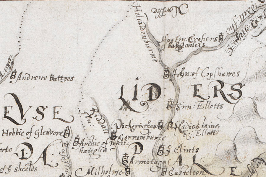
The Burghley Atlas© British Library Board, Cartographic Items Royal MS.18.d.III., f.76r


Alternative names for Hermitage Castle
Armitage
Where is Hermitage Castle?
Hermitage Castle is in the parish of Castleton and the county of Roxburghshire.
Grid reference:NY 49675 96047
Lat / long:55.256087,-2.793138