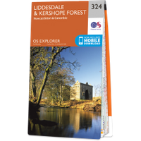
Foulshiels Tower
Where is Foulshiels Tower?
Foulshiels Tower is in the parish of Castleton and the county of Roxburghshire.
Grid reference:NY 4922 9161
Lat / long:55.216101,-2.7996511
Foulshiels Tower is in the parish of Castleton and the county of Roxburghshire.
Grid reference:NY 4922 9161
Lat / long:55.216101,-2.7996511

Enter a starting point