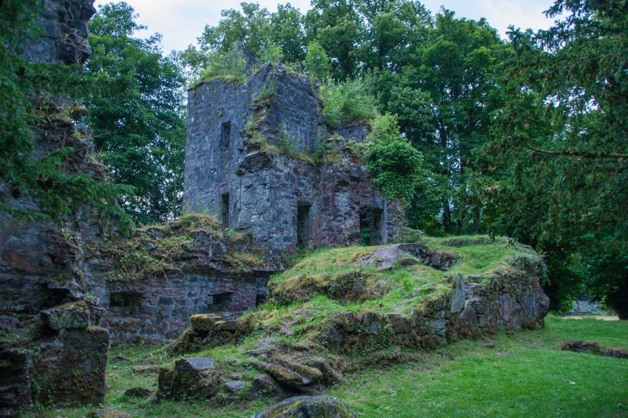
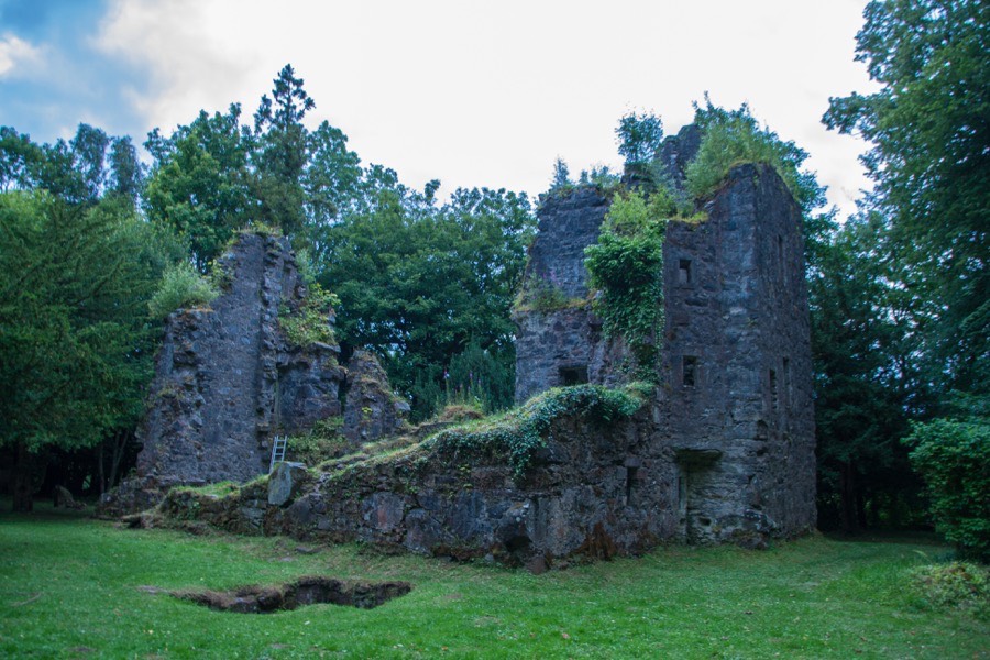
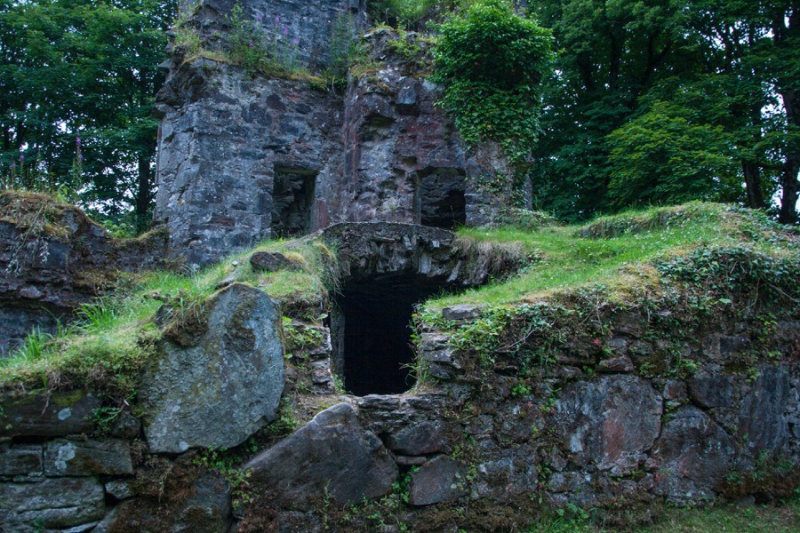
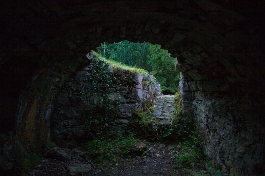
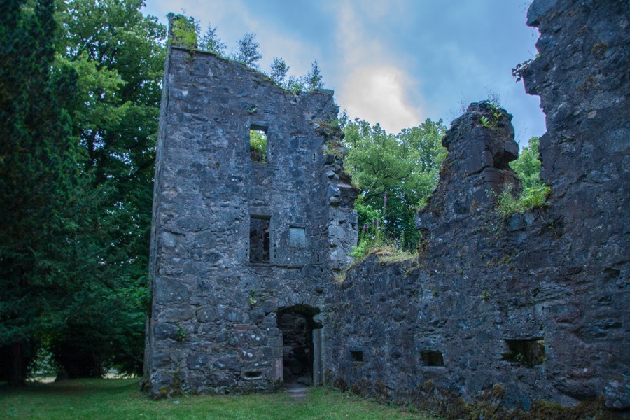
Finlarig Castle


Alternative names for Finlarig Castle
Finlarg; Finlarge; Finlark; Fynlark
Where is Finlarig Castle?
Finlarig Castle is in the parish of Killin and the county of Perthshire.
Grid reference:NN 57500 33832
Lat / long:56.474986,-4.315061
Finlarg; Finlarge; Finlark; Fynlark
Finlarig Castle is in the parish of Killin and the county of Perthshire.
Grid reference:NN 57500 33832
Lat / long:56.474986,-4.315061

Enter a starting point


