Farme Castle
Where is Farme Castle?
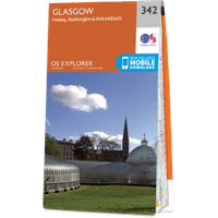
Farme Castle is in the parish of Rutherglen and the county of Lanarkshire.
Grid reference:NS 62014 62334
Lat / long:55.83444400,-4.20475330
Farme Castle is in the parish of Rutherglen and the county of Lanarkshire.
Grid reference:NS 62014 62334
Lat / long:55.83444400,-4.20475330

Enter a starting point