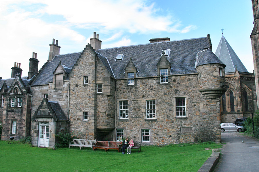
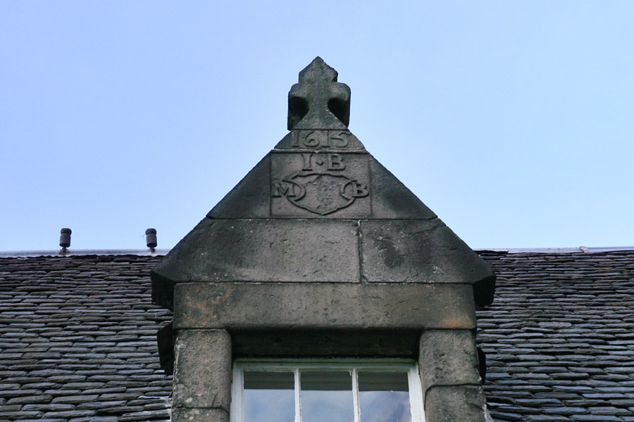
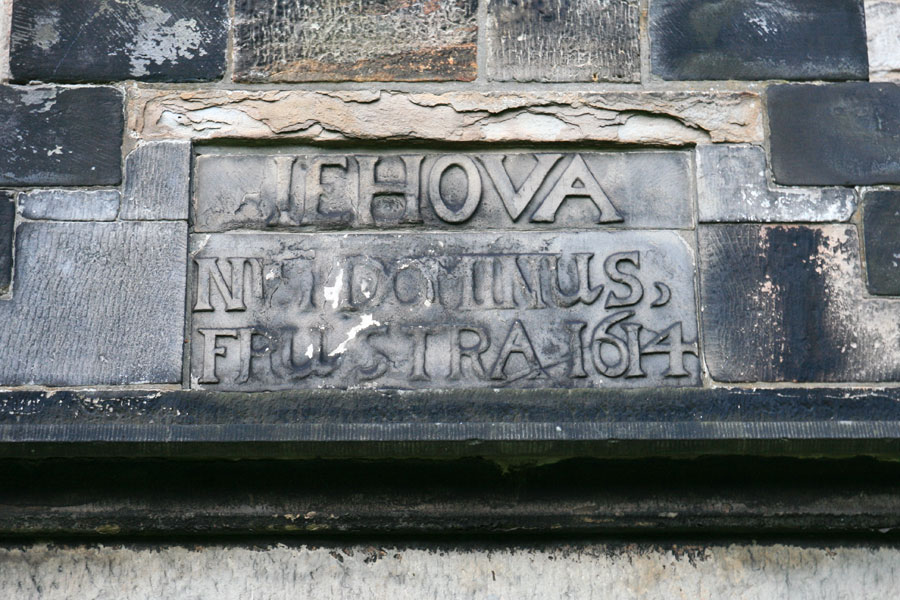
East Coates House
East Coates House was built as a small tower house in the early 17th century by the Lord Provost, although it has been added to and extended over the centuries.
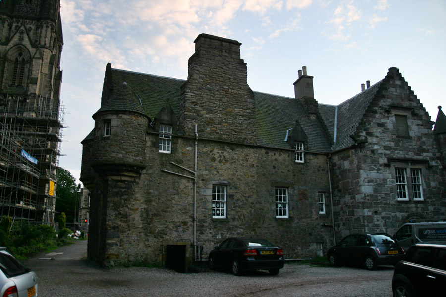
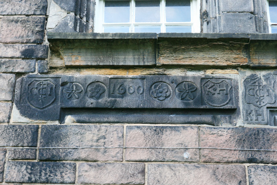
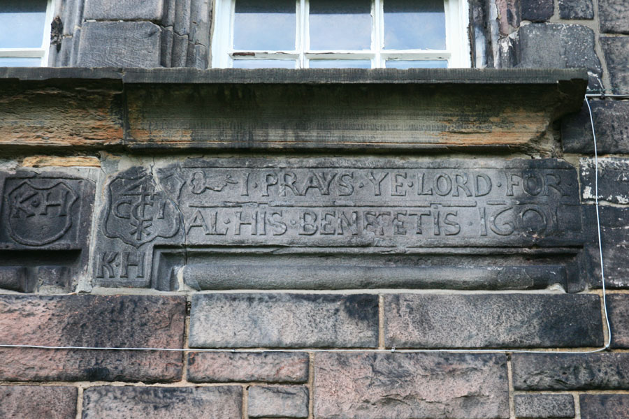
It is decorated with numerous carved stones, some of which appear to have come from an earlier building.
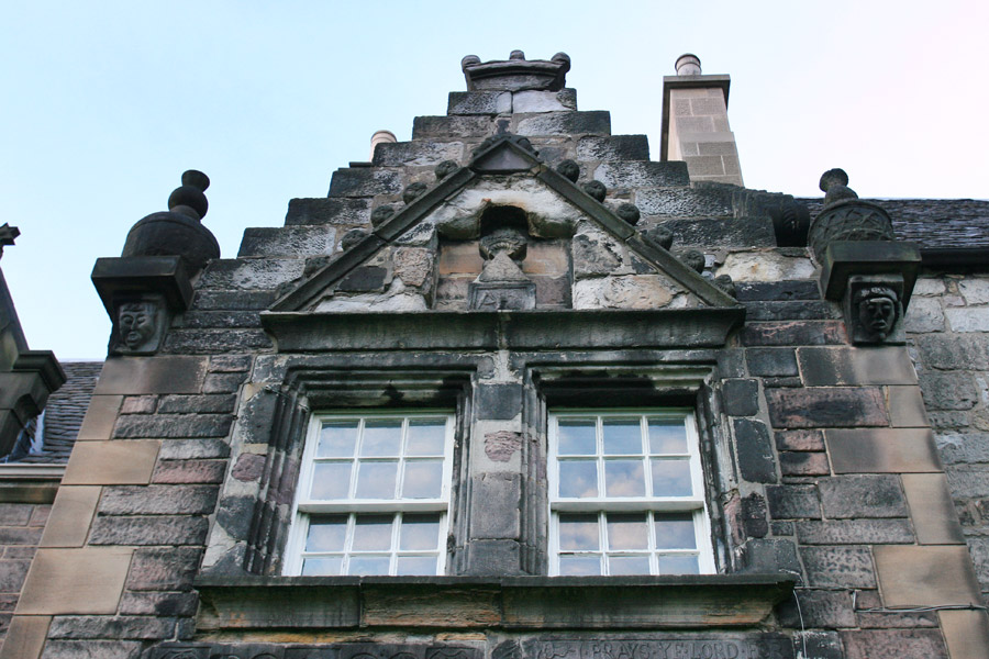
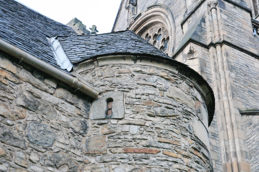
At the south-eastern end of the house the corners of the gable are topped off with bartizans with gun loops.


Alternative names for East Coates House
Coats; Coittes; Cotes; Cots; Cotts; Easter Coates House; Old Coates House
Where is East Coates House?
East Coates House is in the parish of Edinburgh and the county of Midlothian.
Grid reference:NT 24113 73539
Lat / long:55.948924,-3.216706