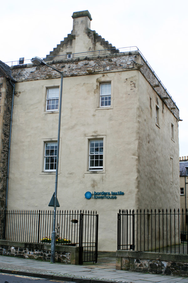
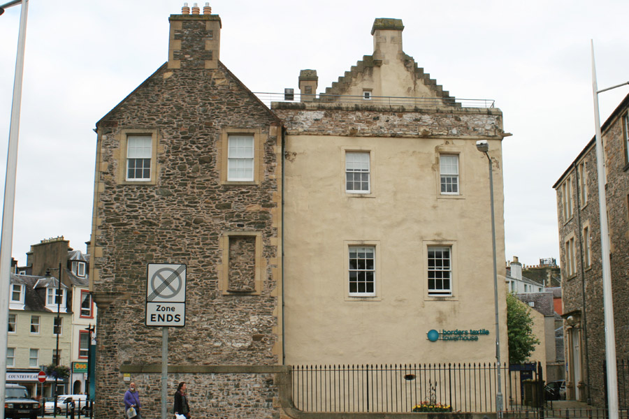
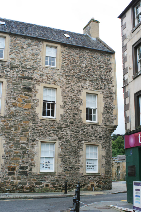
Drumlanrig's Tower


Alternative names for Drumlanrig's Tower
Black Tower of Drumlanrig; Davlamoryke; Drumlanrig Tower; Hawick Tower
Where is Drumlanrig's Tower?
Drumlanrig's Tower is in the parish of Hawick and the county of Roxburghshire.
Grid reference:NT 50224 14440
Lat / long:55.421301,-2.787869