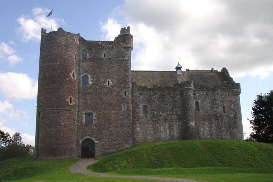
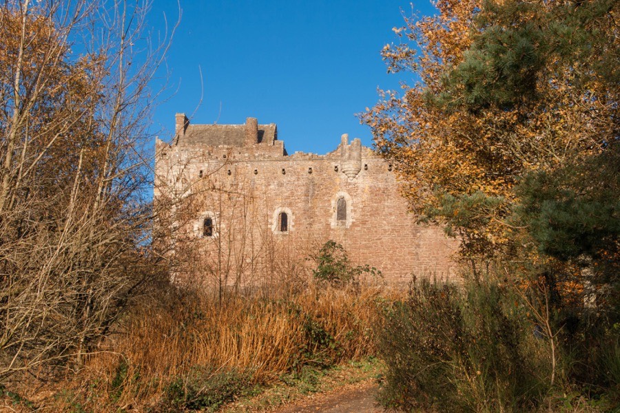
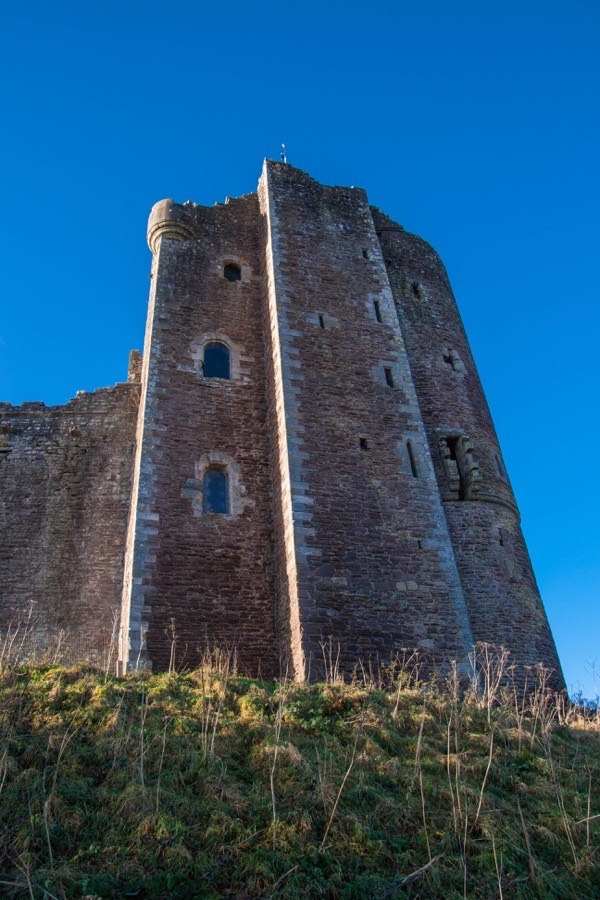
Doune Castle


Where is Doune Castle?
Doune Castle is in the parish of Kilmadock and the county of Perthshire.
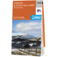
Grid reference:NN 72849 01071
Lat / long:56.185239,-4.050229
Doune Castle is in the parish of Kilmadock and the county of Perthshire.
Grid reference:NN 72849 01071
Lat / long:56.185239,-4.050229

Enter a starting point


