Craigton Castle


Alternative names for Craigton Castle
Craigtoun; Craigtown; Drumloist
Where is Craigton Castle?
Craigton Castle is in the parish of Kilmadock and the county of Perthshire.
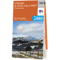
Grid reference:NN 6800 0542
Lat / long:56.223012,-4.130383
Craigtoun; Craigtown; Drumloist
Craigton Castle is in the parish of Kilmadock and the county of Perthshire.
Grid reference:NN 6800 0542
Lat / long:56.223012,-4.130383

Enter a starting point


