Colquhar Tower
Twee-dail with the Sherifdome of Etterik-Forest called also Selkirk
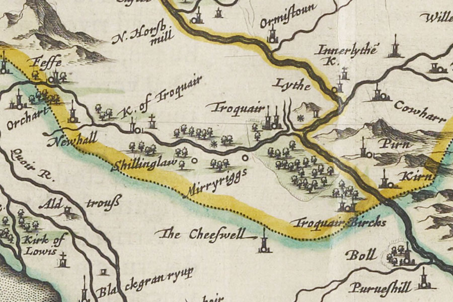
Joan Blaeu, Amsterdam, 1654map image courtesy of NLS
Joan Blaeu, Amsterdam, 1654map image courtesy of NLS
Colquhar is marked on Blaeu’s mid-17th century map as a tower named Cowharr.


Alternative names for Colquhar Tower
Cowharr
Where is Colquhar Tower?
Colquhar Tower is in the parish of Innerleithen and the county of Peeblesshire.
Grid reference:NT 3325 4160
Lat / long:55.663352,-3.062533


