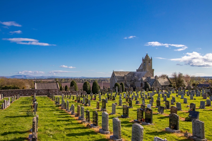
Chirnside Tower
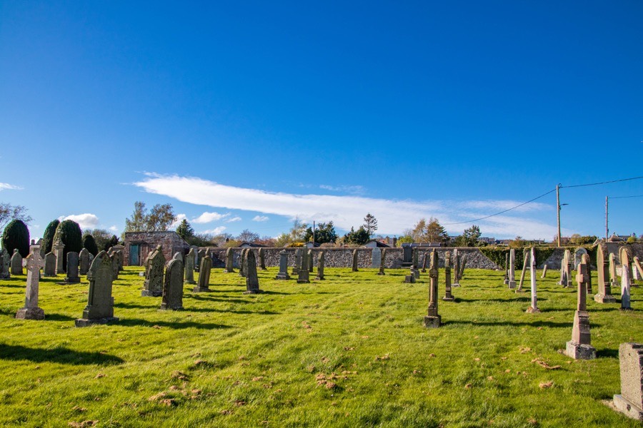
According to the Statistical Account of Scotland a tower in Chirnside, said to have been built by an Earl of Dunbar, was somewhere close to Chirnside churchyard.
A Mariota of Chirnside is mentioned in documents dating to the first half of the 13th century. She was married to Richard of Renton and they had a son named Patrick. A William of Chirnside, or Willelmi de Chernysyde, is mentioned in 13th century documents along with his wife Alice or Alicia of By. The villa of Chirnside is mentioned in a document from 1300 along with those of Wedderburn and Whitsome.
The tower is thought to have been demolished in the late 18th century and its exact location is now lost. A possible position for the tower could be on the north side of the old graveyard, the high point on the site, since the Statistical Account states that it was “conveniently situated for observation”.
Interestingly a vaulted tower on the west side of the church was demolished in 1750, although it seems unlikely that these towers are one and the same since it would be unusual for a castle to be attached to a church. However on Blaeu’s mid-17th century map the church is show with a tower house symbol to its left.
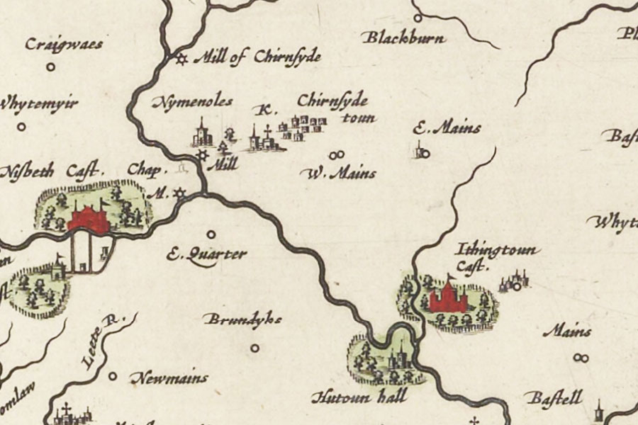
Joan Blaeu, Amsterdam, 1654map image courtesy of NLS
On Moll’s mid-18th century map the church is shown at Chirnside with a tower symbol to its right.
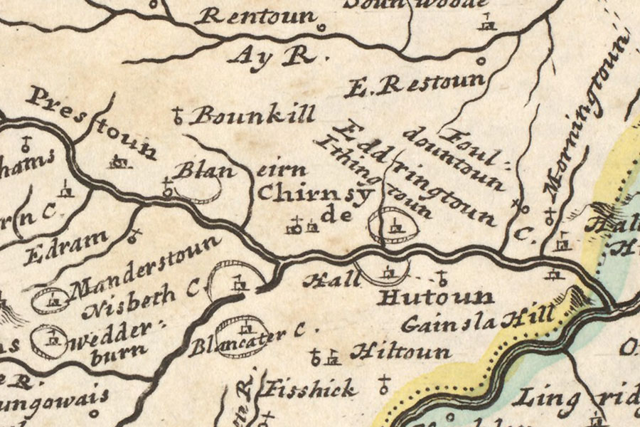
Herman Moll, London, 1745map image courtesy of NLS
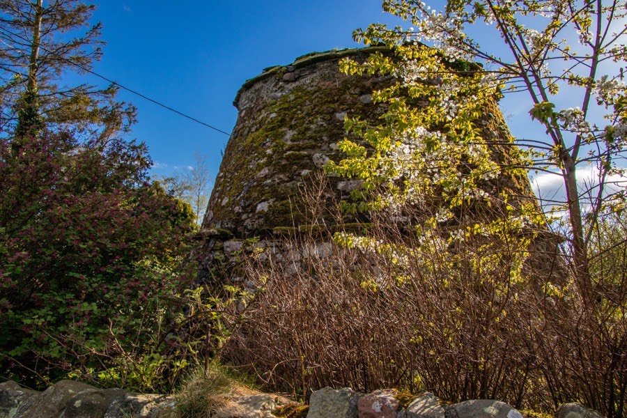
There is a 16th century beehive doocot located at NT 86997 56167 however this is traditionally associated with Ninewells despite being around 1km away. It’s tempting to speculate that the doocot may actually have been associated with the old tower at Chirnside although this is pure speculation on my part until I research it further.


Alternative names for Chirnside Tower
Chernysyde; Chirnesyd; Chirnsyde