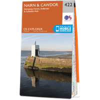
Cawdor Castle
Where is Cawdor Castle?
Cawdor Castle is in the parish of Cawdor and the county of Nairnshire.
Grid reference:NH 84718 49870
Lat / long:57.5242585882989,-3.9266119041035
Cawdor Castle is in the parish of Cawdor and the county of Nairnshire.
Grid reference:NH 84718 49870
Lat / long:57.5242585882989,-3.9266119041035

Enter a starting point


