Castle Leod
Alternative names for Castle Leod
Leod Castle
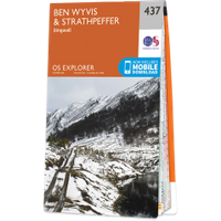
Where is Castle Leod?
Castle Leod is in the parish of Fodderty and the county of Ross and Cromarty.
Grid reference:NH 48603 59325
Lat / long:57.59846400,-4.53495370
Leod Castle
Castle Leod is in the parish of Fodderty and the county of Ross and Cromarty.
Grid reference:NH 48603 59325
Lat / long:57.59846400,-4.53495370

Enter a starting point


