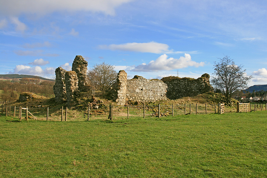
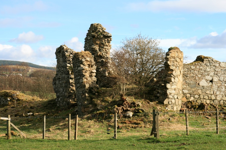
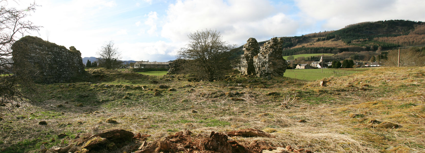
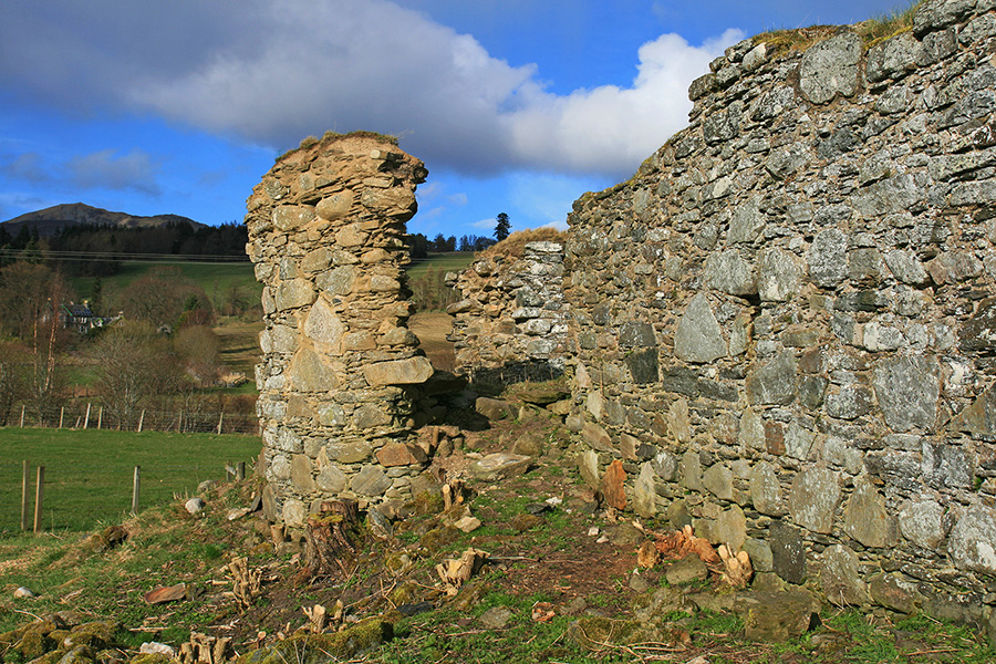
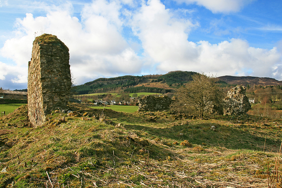
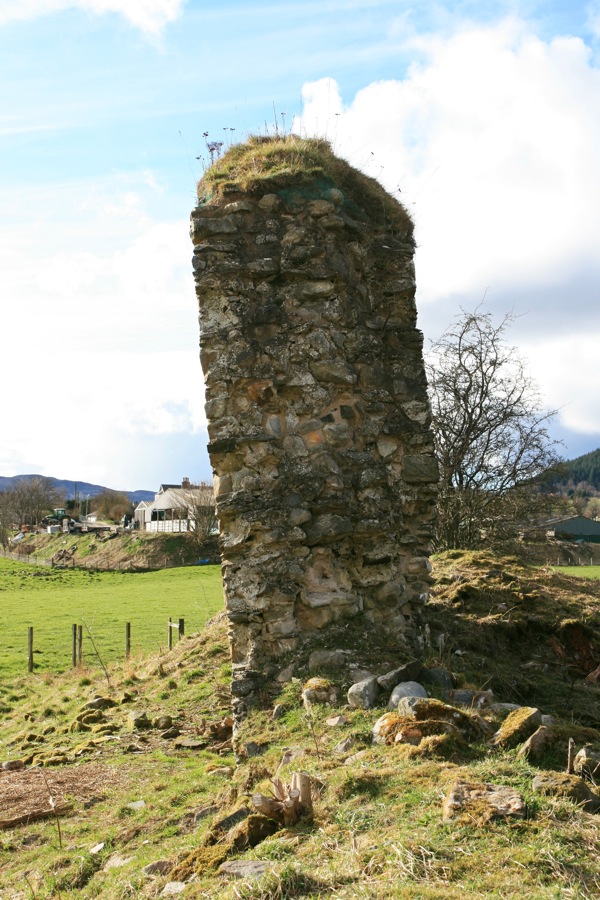
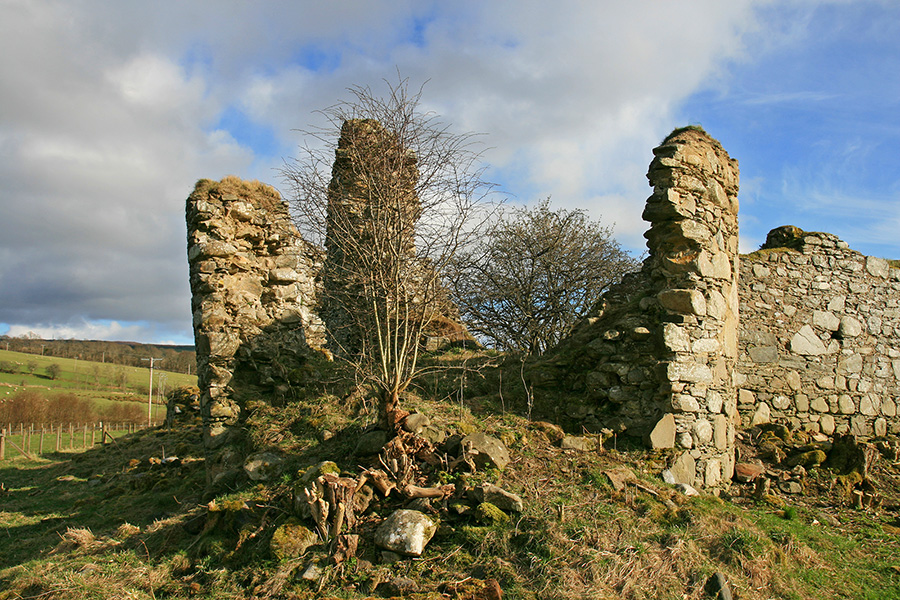
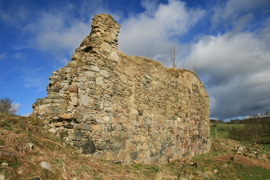
Caisteal Dubh


Alternative names for Caisteal Dubh
An Sean Chaisteal; Black Castle of Moulin; Caisteal Dubh Mhaothlinne; Moulin Castle
Where is Caisteal Dubh?
Caisteal Dubh is in the parish of Moulin and the county of Perthshire.
Grid reference:NN 9470 5892
Lat / long:56.710106,-3.721625


