Bucholie Castle; Buchollie Castle; Lambaborg
Bucholly Castle is in the parish of Canisbay and the county of Caithness.
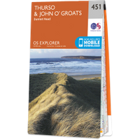
Grid reference:ND 3821 6583
Lat / long:58.576038,-3.064172
Enter a starting point