Black Castle
Alternative names for Black Castle
Blackcastle
Where is Black Castle?
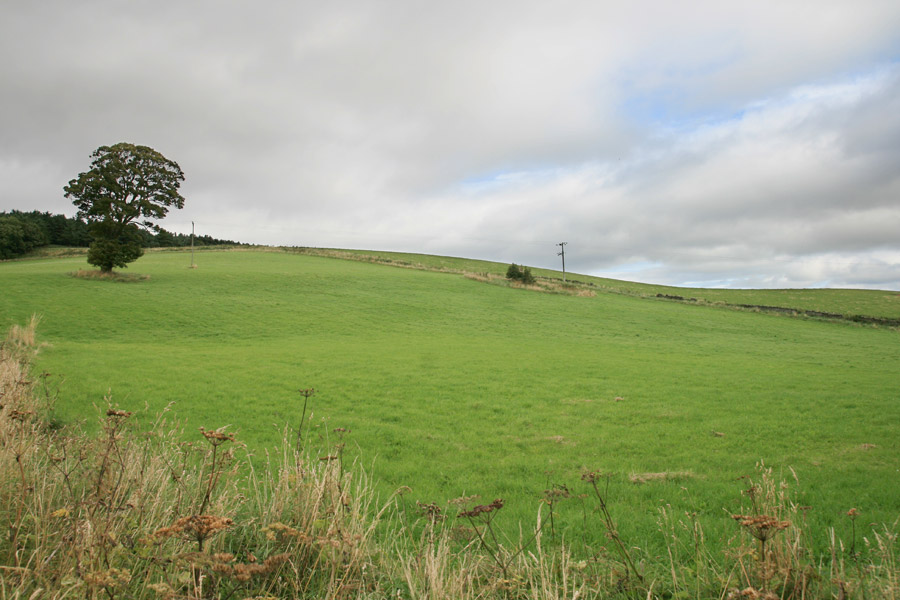
Black Castle is in the parish of Oldhamstocks and the county of East Lothian.
Grid reference:NT 7381 7070
Lat / long:55.9286519382431,-2.42072079585531
Blackcastle
Black Castle is in the parish of Oldhamstocks and the county of East Lothian.
Grid reference:NT 7381 7070
Lat / long:55.9286519382431,-2.42072079585531

Enter a starting point


