Achallader Castle
Alternative names for Achallader Castle
Achallader House; Achallader Tower
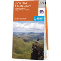
Where is Achallader Castle?
Achallader Castle is in the parish of Glenorchy and Inishail and the county of Argyll.
Grid reference:NN 32218 44249
Lat / long:56.560139,-4.7317467