Leckie
Where is Leckie?
Leckie is in the parish of Gargunnock and the county of Stirlingshire.
Grid reference: NS 6926 9399
Lat / long: 56.120738, -4.104454

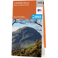
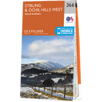
OS Map for Leckie
Directions to Leckie
Enter a starting point
Get directions

Weather at Leckie
1°C
max 5°C / min -1°C
max 5°C / min -1°C
2km/h WSW
1028mb
74%
93%
04:56 19:33
1028mb
74%
93%
04:56 19:33
Overcast clouds
Weather observed at Stirling at 04:42
References (websites)
Ancient sites near Leckie
Castles near Leckie
Pictish stones near Leckie

Pictish sites near Leckie
Accommodation near Leckie
Gargunnock House
2.3km away
The Cross Keys
4.2km away
The Inn at Kippen
4.3km away
Hillview Cottage B&B
5.1km away
Culcreuch Estate Lodges
9.5km away
Culcreuch Castle Hotel
9.6km away
Stirling SYHA Hostel
10.0km away
The Stirling Highland Hotel
10.1km away
Terraces Hotel, Stirling
10.3km away
Adamo Bridge of Allan
10.4km away
Accommodation search
Cafés, restaurants & bars near Leckie
The Cross Keys
4.2km away
The Inn at Kippen
4.3km away
Culcreuch Castle Hotel
9.6km away
The Stirling Highland Hotel
10.1km away
Papa Joe's Stirling
10.3km away
Premier Inn Stirling City Centre
10.8km away
Premier Inn Stirling South (M9, J9)
11.7km away
Roman Camp Hotel
15.0km away
The Crags Hotel
15.1km away
Mhor Bread
15.4km away


